From Wikimedia Commons, the free media repository
Jump to navigation
Jump to search
The introductions of the country, dependency and region entries are in the native languages and in English. The other introductions are in English.
Atlas of colonialism
Maps of colonialism [ edit ]
Colonies in 1492
Colonies in 1550
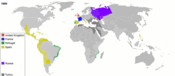
Colonies in 1600
Colonies in 1660
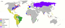
Colonies in 1754
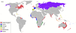
Colonies in 1822
Colonies in 1885
Colonies in 1898
Colonies in 1914
Colonies in 1920
Colonies in 1936
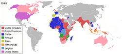
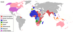
Colonies in 1945
Dates of independence
Colonies by country [ edit ]
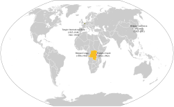
Belgian Empire 20th century
Belgian Congo in 1914
Belgian Congo in 1914
The British Empire in 1921
British territories since the 16th century
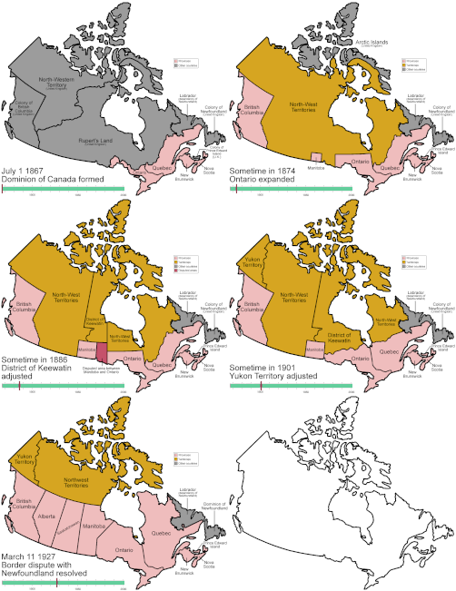
Evolution of Canada
British Guiana in 1896
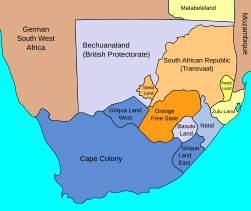
British possessions in the south of Africa, end of the 19th century
British possessions in the south of Africa, 1885
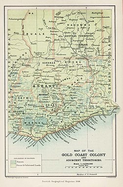
the Gold coast in 1896 (Ghana )
British territories in Eastern Africa 1908
British influence in Iran begining of the 20th century
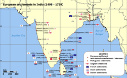
British settlements in India 17-18th centuries
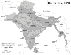
British India in 1860
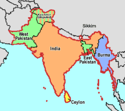
Partition of British India in 1947
British mandate of Palestine 1920-1947
First and second french colonial empires. (Light blue Ist empire, dark blue IId empire)
The "Nouvelle France" in the 17 and 18 th centuries
Northern America in the 18th century
French settlements in India 17-18th centuries
French India 1741-1754
French Western Africa
French Equatorial Africa
French Somaliland in 1908
Morocco in 1912, divided between France and Spain
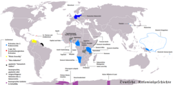
German colonial empire before 1918
German South West Africa in 1904, actually Namibia
German Eastern Africa before 1918
Italian empire 1940
Italian Eritrea in 1908
Expansion of Japan 20th century
Dutch settlements in India 17-18th centuries
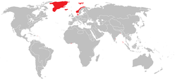
Denmark–Norway and possessions in 1800
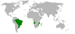
Anachronous map of the Portuguese Empire (1415-1999)
The Portuguese Empire in AD 1500 and the before discovered areas
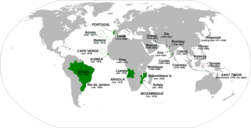
Portuguese colonial possessions in the XVI century
Portuguese territory in the XVIII century
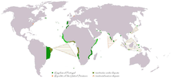
Territorial demarcations between the Portuguese and Spanish empire, resulting from the treaties of Tordesilhas, Saragoça and Alcáçovas (in German)
the Spanish and Portuguese Empires in the period of their personal union (1581-1640)
Portuguese posessions during the spanish rule (1583-1640)(in blue)
Portuguese posessions during the spanish rule (1583-1640)(in blue)
Dutch-Portuguese War 1588-1654
Portuguese Empire 20th century
Portuguese Empire 1916-1974
Empire at João III reign
Portuguese colonial possessions in the XVI century
Portuguese territory in the XVIII century
Portuguese posessions during the Spanish rule (158-1640)(in blue)
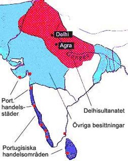
Portuguese possessions in India 16-18 th centuries
Portuguese Empire 1916-1974
Portuguese colonies in Africa by the time of the Portuguese Colonial War (1961-1974)
Anachronous map of the Portuguese Empire (1415-1999)
Some of the Portuguese possessions in Africa (15th century)
Portuguese claims in Africa prior to 1890
Portuguese claims in Africa prior to 1890
German claims in Africa (1917), including all Portuguese colonies
Ceuta
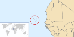
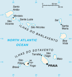
Cabo Verde
Cabo Verde
Casamansa
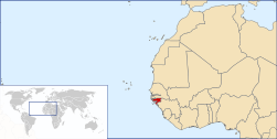
Guiné Portuguesa
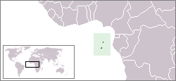
São Tomé e Príncipe
São Tomé e Príncipe
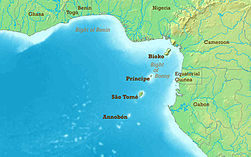
Annobón, São Tomé e Princípe, Bioko (Fernão Pó)
Annobón, Bioko (Fernão Pó)
Bioko (Fernão Pó)
Portuguese East Africa
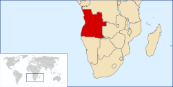
Portuguese West Africa
Cabinda
Santa Helena
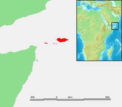
Socotra
Zanzibar
Zanzibar
Portuguese colonies in Africa by the time of the Portuguese Colonial War (1961-1974)
East Timor
Timor Leste
East Timor
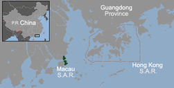
Macau
[[|border|251x400px]]
Macau
Brazilian administrative division as of 1534
Brazilian administrative division as of 1572
Brazilian administrative division as of 1709
Brazilian administrative division as of 1789
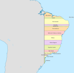
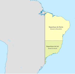
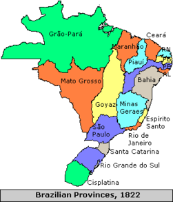
Brazilian administrative division as of the Independence (1820)
Early demarcation lines (1495-1545) for the Treaty of Tordesillas (1494)
Disputed areas with Spain 1811-1819
Portuguese possessions in India 1600
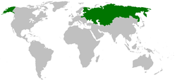
Expansion of Russia 1300—1945
The Russian empire
Kievan rus in 9th century
Kievan rus in 11 th century
Russian annexions in Poland 18th century (all tones of grey)
The russian influence in Iran ,beginning of the 20th century
Finnish territories ceded to Soviet Union in 1940
Finnish territories ceded to Soviet Union in 1944
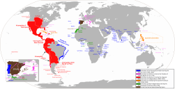
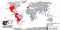
The Spanish colonial empire
The Vice-Royalty of Peru
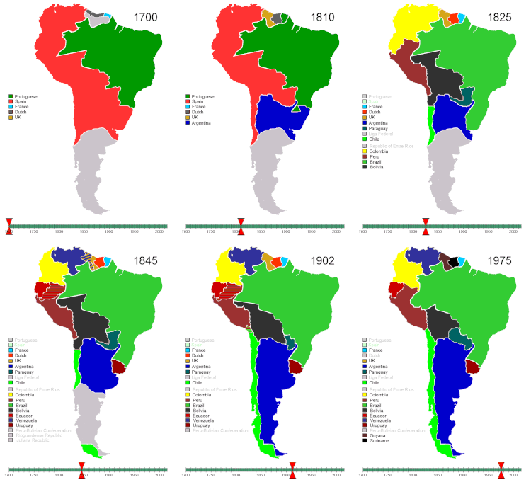
History of South-America (animated map) History of Central America and the Caribbean(animated map)
Spanish Morocco in 1955
Overseas territories of the United States in the end of the 19th century
Notes and references [ edit ]
General remarks:
The WIKIMEDIA COMMONS Atlas of the World is an organized and commented collection of geographical, political and historical maps available at Wikimedia Commons. The main page is therefore the portal to maps and cartography on Wikimedia. That page contains links to entries by country, continent and by topic as well as general notes and references .
Every entry has an introduction section in English. If other languages are native and/or official in an entity, introductions in other languages are added in separate sections. The text of the introduction(s) is based on the content of the Wikipedia encyclopedia. For sources of the introduction see therefore the Wikipedia entries linked to. The same goes for the texts in the history sections.
Historical maps are included in the continent, country and dependency entries.
The status of various entities is disputed. See the content for the entities concerned.
The maps of former countries that are more or less continued by a present-day country or had a territory included in only one or two countries are included in the atlas of the present-day country. For example the Ottoman Empire can be found in the Atlas of Turkey .
Entries available in the atlas [ edit ]
General pages World Continents and oceans Themes Historical eras States with wide recognition States with limited recognition Dependencies and other overseas territories Country subdivisions
Belgium
China (mainland)
India
Pakistan
Spain
United Kingdom
United States
Other Disputed subnational territories Other regions Cities Former sovereign states Former dependencies and overseas territories Former disputed territories


