The Kingdom of Thailand lies in Southeast Asia, with ► Laos and ► Cambodia to its east, the Gulf of ► Thailand and ► Malaysia to its south, and the Andaman Sea and ► Myanmar to its west. The word Thai (ไทย) means "freedom" in the Thai language and is also the name of the majority ethnic group.
This section holds a short summary of the history of the area of present-day Thailand, illustrated with maps, including historical maps of former countries and empires that included present-day Thailand.
The WIKIMEDIA COMMONS Atlas of the World is an organized and commented collection of geographical, political and historical maps available at Wikimedia Commons. The main page is therefore the portal to maps and cartography on Wikimedia. That page contains links to entries by country, continent and by topic as well as general notes and references.
Every entry has an introduction section in English. If other languages are native and/or official in an entity, introductions in other languages are added in separate sections. The text of the introduction(s) is based on the content of the Wikipedia encyclopedia. For sources of the introduction see therefore the Wikipedia entries linked to. The same goes for the texts in the history sections.
Historical maps are included in the continent, country and dependency entries.
The status of various entities is disputed. See the content for the entities concerned.
The maps of former countries that are more or less continued by a present-day country or had a territory included in only one or two countries are included in the atlas of the present-day country. For example the Ottoman Empire can be found in the Atlas of Turkey.


 Southern provinces
 Northern provinces
 Isan provinces


 Ang Thong
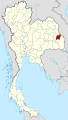 Amnat Charoen
 Ayutthaya
 Bangkok
 Buriram
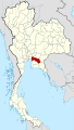 Chachoengsao
 Chainat
 Chaiyaphum
 Chanthaburi
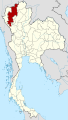 Chiang Mai
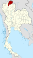 Chiang Rai
 Chonburi
 Chumphon
 Kalasin
 Kamphaeng Phet
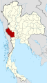 Kanchanaburi
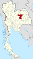 Khon Kaen
 Krabi
Krabi Lampang
 Lamphun
 Loei
Loei Lopburi
 Mae Hong Son
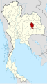 Maha Sarakham
 Mukdahan
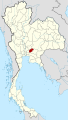 Nakhon Nayok
 Nakhon Pathom
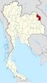 Nakhon Phanom
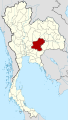 Nakhon Ratchasima
 Nakhon Sawan
 Nakhon Si Thammarat
 Nan
Nan Narathiwat
 Nongbua Lamphu
 Nong Khai
 Nonthaburi
 Pathum Thani
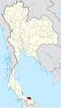 Pattani
 Phang Nga
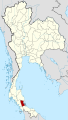 Phatthalung
 Phayao
 Phetchaburi
 Phetchabun
 Phichit
 Phitsanulok
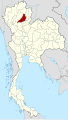 Phrae
Phrae Prachinburi
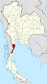 Prachuap Khiri Khan
 Phuket
 Ranong
 Ratchaburi
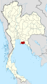 Rayong
 Roi Et
 Sa Kaeo
 Sakon Nakhon
 Samut Prakan
 Samut Sakhon
 Samut Songkhram
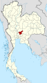 Saraburi
 Satun
Satun Sing Buri
 Sisaket
 Songkhla
 Sukhothai
 Suphanburi
 Surat Thani
 Surin
Surin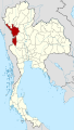 Tak
Tak Trang
Trang Trat
Trat Ubon Ratchathani
 Udon Thani
 Uthai Thani
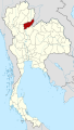 Uttaradit
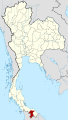 Yala
Yala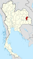 Yasothon


.svg)


.svg)
 Temples of the capital: Wat Phra Kaeo
 Temples of the capital: Wat Pho
 Other Temples: Wat Phra Singh (Chiang Mai)
 Phreah Vihear


