Category:1840s maps of Greece
Jump to navigation
Jump to search
Countries of Europe: Albania · Armenia‡ · Austria · Azerbaijan‡ · Belarus · Belgium · Bosnia and Herzegovina · Bulgaria · Croatia · Cyprus‡ · Czech Republic · Denmark · Finland · France‡ · Georgia‡ · Germany · Greece · Hungary · Republic of Ireland · Italy · Lithuania · Netherlands‡ · Norway · Poland · Portugal‡ · Romania · Russia‡ · Serbia · Slovakia · Slovenia · Spain‡ · Sweden · Switzerland · Turkey‡ · Ukraine · United Kingdom
Limited recognition: Abkhazia‡
‡: partly located in Europe
Limited recognition: Abkhazia‡
‡: partly located in Europe
Media in category "1840s maps of Greece"
The following 12 files are in this category, out of 12 total.
-
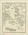 Grecian Archipelago (ancient) by William Smith.jpg 4,431 × 5,420; 2.56 MB
-
 1846 map - Europaeische Türkey, Griechenland und die Ionischen Inseln.tif 5,398 × 6,323; 80.02 MB
-
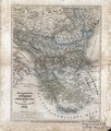
 1846 map of Turkey in Europe.tif 8,128 × 10,314; 171.69 MB
-

-

-
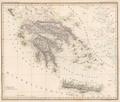
 Griechenland und der Griechisch-Türkische Archipel.jpg 5,643 × 4,870; 9.06 MB
-
 Königreich Griechenland Platt 1848.pdf 2,800 × 2,372; 556 KB
-
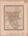
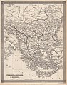
 Balkan-Halbinsel, Ungarn, Europaeische Türkey und Griechenland.tif 3,360 × 4,125; 39.69 MB
-
 Barclay's Dictionary Turkey in Europe & Greece.jpg 4,775 × 6,063; 21.15 MB
-
 Carte grece 1843.jpg 3,335 × 2,403; 4.47 MB
-
 Italien, Europaeische Türkey, Griechenland, und die Jonischen Inseln.jpg 2,667 × 2,256; 2.06 MB
-
 Meyer‘s Zeitungsatlas ??? – Griechenland und die Ionischen Inseln und Candia.jpg 7,393 × 6,203; 18.24 MB
_by_William_Smith.jpg)


