Maps of Germany
Jump to navigation
Jump to search
Countries of Europe: Albania · Andorra · Armenia‡ · Austria · Azerbaijan‡ · Belarus · Belgium · Bosnia and Herzegovina · Bulgaria · Croatia · Cyprus‡ · Czech Republic · Denmark · Estonia · Finland · France‡ · Georgia‡ · Germany · Greece · Hungary · Iceland · Republic of Ireland · Italy · Kazakhstan‡ · Latvia · Lithuania · Luxembourg · Malta · Monaco · Netherlands‡ · North Macedonia · Norway · Poland · Portugal‡ · Romania · Russia‡ · San Marino · Slovakia · Slovenia · Spain‡ · Sweden · Switzerland · Turkey‡ · Ukraine · United Kingdom · Vatican City
Specific status: Faroe Islands · Gibraltar · Isle of Man – Limited recognition: Abkhazia‡ · Kosovo
‡: partly located in Europe
Specific status: Faroe Islands · Gibraltar · Isle of Man – Limited recognition: Abkhazia‡ · Kosovo
‡: partly located in Europe
- Maps are also available as part of the
 Wikimedia Atlas of the World project in the Atlas of Germany.
Location maps[edit]
-
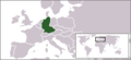
 English: Location map of GermanyPolski: Niemcy w Europie
 -
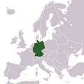 Location map of Germany in Europe
 -
 English: Position in EuropeDeutsch: Lage in EuropaPolski: Niemcy w Europie
 -
 English: Position in Europe & EUDeutsch: Lage in Europa & der EUPolski: Niemcy w Europie
 -
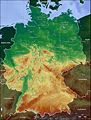
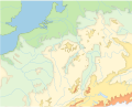
 English: Topographical mapDeutsch: Topographische KartePolski: Topograficzna mapa Niemiec
 -
-
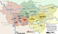
 English: Federal States (Länder) of GermanyDeutsch: Lagekarte der deutschen BundesländerPolski: Mapa z podziałem na landy
 -
 English: Federal States (Länder) of Germany with coats of armsDeutsch: Lagekarte der deutschen Bundesländer mit den jeweiligen LandeswappenPolski: Mapa z podziałem na landy
 -
 The north of Germany, on sing left of the image. View from ISS
 -
 Deutsch: Politische KarteEnglish: Political structure
 -
 English: Location map of West GermanyPolski: NRD w Europie
 -
 English: Location map of East GermanyPolski: Dawna RFN w Europie
 -


There is also a list of Location maps of German towns. There is also a list of Location maps of German districts (Landkreise).
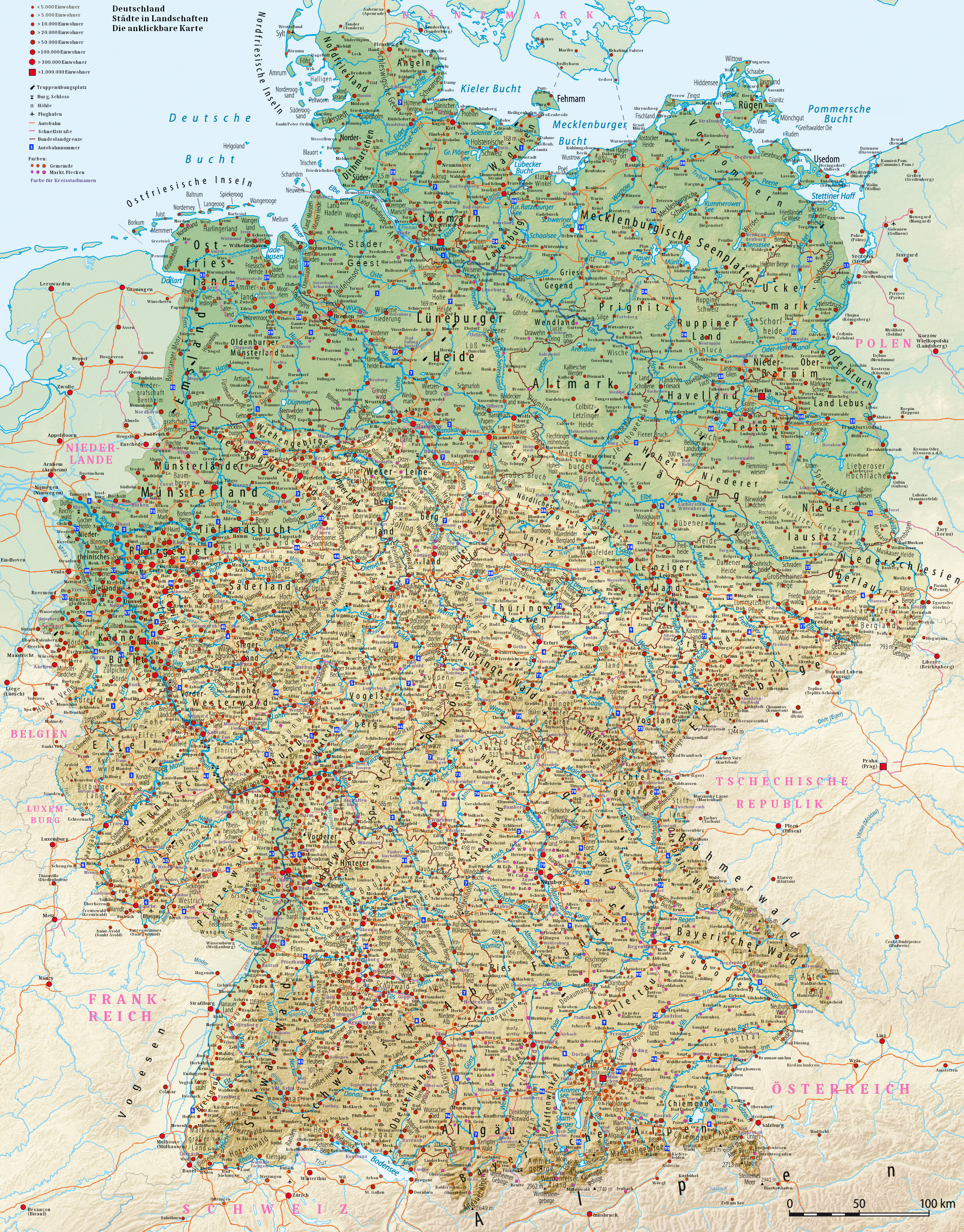
Clickable map[edit]
Recent maps[edit]
-
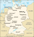 Map of Germany from CIA World Factbook
 -
 Map of the Ruhr Area, Germany
 -
 Map of the administration of the Ruhr Area, Germany
 -
 Ballungsraum Rhein-Ruhr in Deutschland
 -
 Map of WISTA Berlin-Adlershof
 -
 Map of the Helmholtz Centres in Germany
 -
 Leerkarte
 -
 Blank map of the Rhine valley region and North Eastern France


