Category:SVG locator maps of countries of Europe (gray and green globe scheme)
Jump to navigation
Jump to search
Temperate regions: North America · South America · Africa · Europe · Asia · Oceania – Polar regions: – Other regions:

Countries of Europe: Albania · Andorra · Armenia‡ · Austria · Azerbaijan‡ · Belarus · Belgium · Bosnia and Herzegovina · Bulgaria · Croatia · Cyprus‡ · the Czech Republic ≈ Czech Republic · Denmark · Estonia · Finland · France‡ · Georgia‡ · Germany · Greece · Hungary · Iceland · the Republic of Ireland ≈ Republic of Ireland · Italy · Kazakhstan‡ · Latvia · Liechtenstein · Lithuania · Luxembourg · Malta · Moldova · Monaco · Montenegro · the Netherlands‡ ≈ Netherlands‡ · North Macedonia · Norway · Poland · Portugal‡ · Romania · Russia‡ · San Marino · Serbia · Slovakia · Slovenia · Spain‡ · Sweden · Switzerland · Turkey‡ · Ukraine · the United Kingdom ≈ United Kingdom · the Vatican City ≈ Vatican City
Specific status: Akrotiri and Dhekelia‡ · the Faroe Islands ≈ Faroe Islands · Gibraltar · the Bailiwick of Guernsey ≈ Bailiwick of Guernsey · the Isle of Man ≈ Isle of Man · the Jersey ≈ Jersey · Svalbard – Limited recognition: Abkhazia‡ · Gagauzia · Kosovo · South Ossetia‡ · Transnistria · Northern Cyprus‡ · the UN Buffer Zone in Cyprus‡ ≈ UN Buffer Zone in Cyprus‡
‡: partly located in Europe
Subcategories
This category has the following 2 subcategories, out of 2 total.
Media in category "SVG locator maps of countries of Europe (gray and green globe scheme)"
The following 18 files are in this category, out of 18 total.
-

-
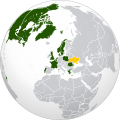
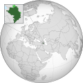
 Catalan Countries (orthographic projection).svg 553 × 553; 355 KB
-
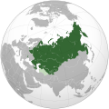 CIS (orthographic projection).svg 541 × 541; 558 KB
-
 CIS (orthographic projection, only Crimea disputed).svg 541 × 541; 673 KB
-

-
 Council of Europe (orthographic projection).svg 792 × 792; 5.49 MB
-
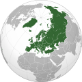 European countries (orthographic projection).svg 537 × 536; 357 KB
-
 European Union maximum enlargement.svg 537 × 536; 349 KB
-
 F-16 training coalition.svg 2,000 × 2,000; 5.78 MB
-
 Georgia (orthographic projection with inset).svg 550 × 550; 689 KB
-
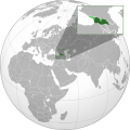
 Georgia (orthographic projection).svg 553 × 553; 302 KB
-
 Georgia (orthographic--projection).svg 553 × 553; 361 KB
-
 Middle East (orthographic projection without Turkey).svg 553 × 553; 328 KB
-
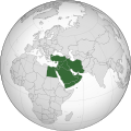 Middle East (orthographic projection).svg 553 × 553; 328 KB
-
 North Atlantic Treaty Organization (orthographic projection).svg 550 × 550; 484 KB
-
 Republic of Artsakh (orthographic projection).svg 553 × 553; 538 KB
-
 Republic of Artsakh 1994–2020 (orthographic projection).svg 553 × 553; 504 KB
-
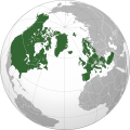
 Scandinavia (orthographic projection).svg 553 × 553; 358 KB
_usato_da_FIAT_(e_fiat_chrysler_automobiles)_per_il_suo_mercato_automobili.svg)
.svg)
.svg)
.svg)
.svg)
.svg)
.svg)


.svg)
.svg)
.svg)
.svg)
.svg)
.svg)
.svg)
.svg)
.svg)
Categories:
- SVG locator maps of countries (gray and green globe scheme)
- SVG locator maps of countries of Europe (gray and green scheme)
- SVG locator maps of countries of Europe (gray globe scheme)
- SVG locator maps of Europe (gray and green globe scheme)
- Locator maps of countries of Europe (gray and green globe scheme)