File:Nozaki Island Aerial photograph.2014.jpg
Jump to navigation
Jump to search
Size of this preview: 384 × 599 pixels. Other resolutions: 154 × 240 pixels | 307 × 480 pixels | 492 × 768 pixels | 656 × 1,024 pixels | 1,312 × 2,048 pixels | 3,629 × 5,665 pixels.
Original file (3,629 × 5,665 pixels, file size: 6.32 MB, MIME type: image/jpeg)
Captions
Captions
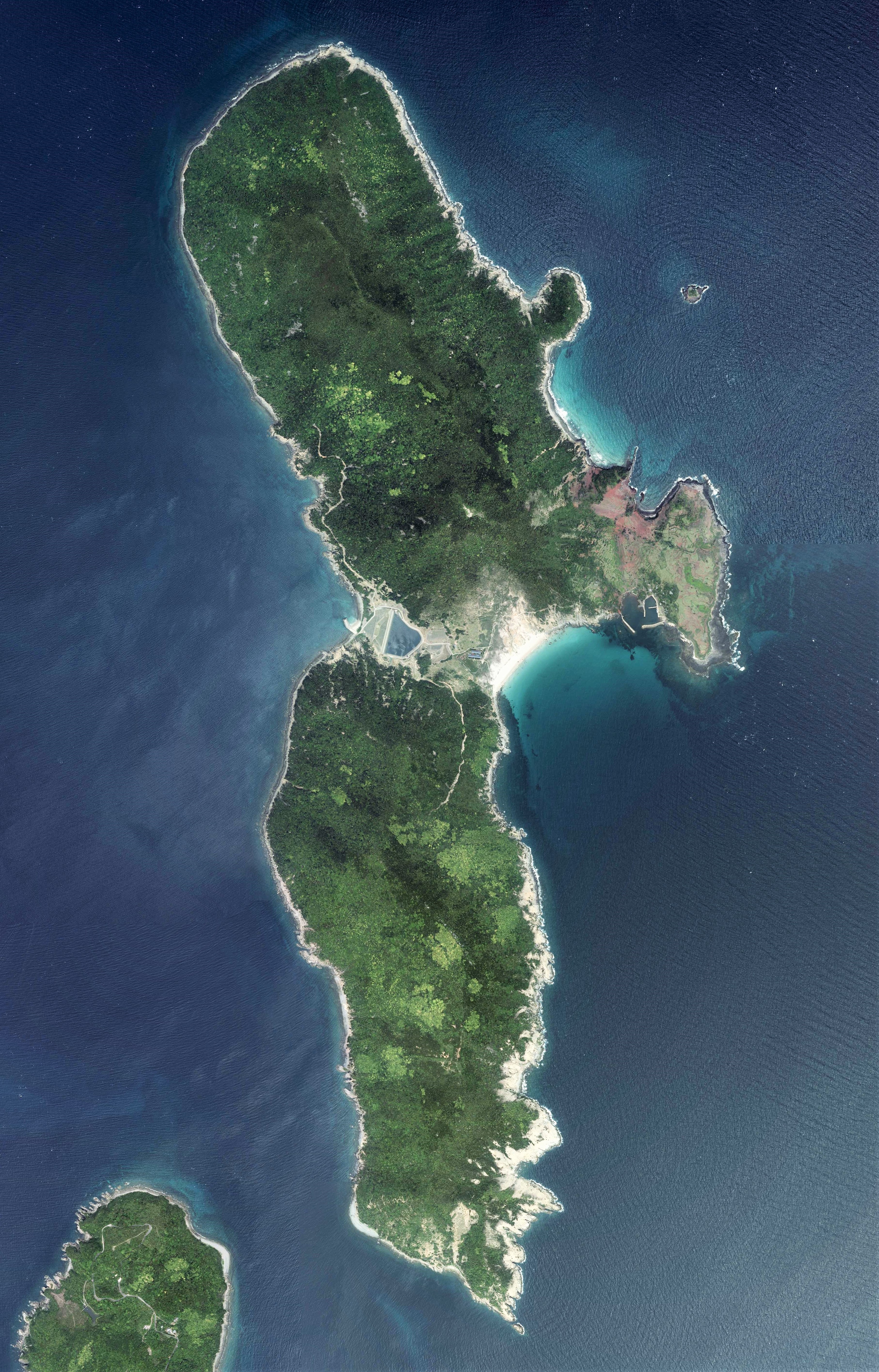
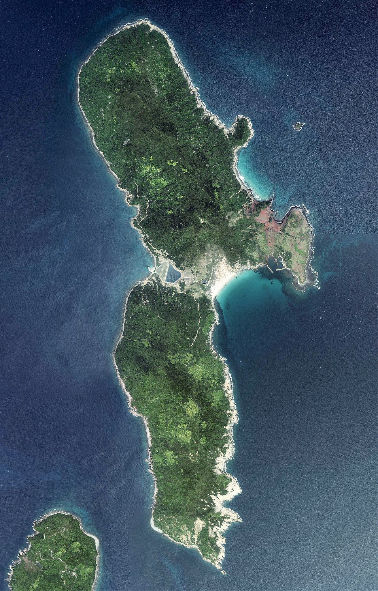
Nozaki Island Aerial photograph.2014
Summary[edit]
| Description |
日本語: 長崎県北松浦郡小値賀町の野崎島の空中写真。 |
| Date | |
| Source | 国土情報ウェブマッピングシステム |
| Author | 国土地理院 |
Licensing[edit]

|
The copyright holder of this file, the Ministry of Land, Infrastructure, Transport and Tourism of Japan, allows anyone to use it for any purpose, provided that the copyright holder is properly attributed. Redistribution, derivative work, commercial use, and all other use is permitted. |
Attribution:
Copyright © National Land Image Information (Color Aerial Photographs), Ministry of Land, Infrastructure, Transport and Tourism
|
 |
This image is copyrighted by the Ministry of Land, Infrastructure, Transport and Tourism of Japan. For terms of use, see the stipulation to use of National Land Information (in Japanese) and message from MLIT (in Japanese and English). When you display this image on an article, include the following phrase in the description: "Made based on National Land Image Information (Color Aerial Photographs), Ministry of Land, Infrastructure, Transport and Tourism".
|
File history
Click on a date/time to view the file as it appeared at that time.
| Date/Time | Thumbnail | Dimensions | User | Comment | |
|---|---|---|---|---|---|
| current | 07:08, 8 June 2019 | | 3,629 × 5,665 (6.32 MB) | さかおり (talk | contribs) | User created page with UploadWizard |
You cannot overwrite this file.
File usage on Commons
The following page uses this file:
File usage on other wikis
The following other wikis use this file:
- Usage on ja.wikipedia.org
- Usage on www.wikidata.org