File:New England Level IV ecoregions.pdf
Jump to navigation
Jump to search

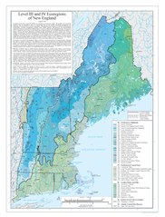
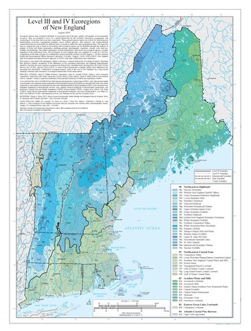
Size of this JPG preview of this PDF file: 456 × 600 pixels. Other resolutions: 182 × 240 pixels | 365 × 480 pixels | 584 × 768 pixels | 778 × 1,024 pixels | 1,556 × 2,048 pixels | 2,850 × 3,750 pixels.
Original file (2,850 × 3,750 pixels, file size: 1.94 MB, MIME type: application/pdf)
Captions
Captions
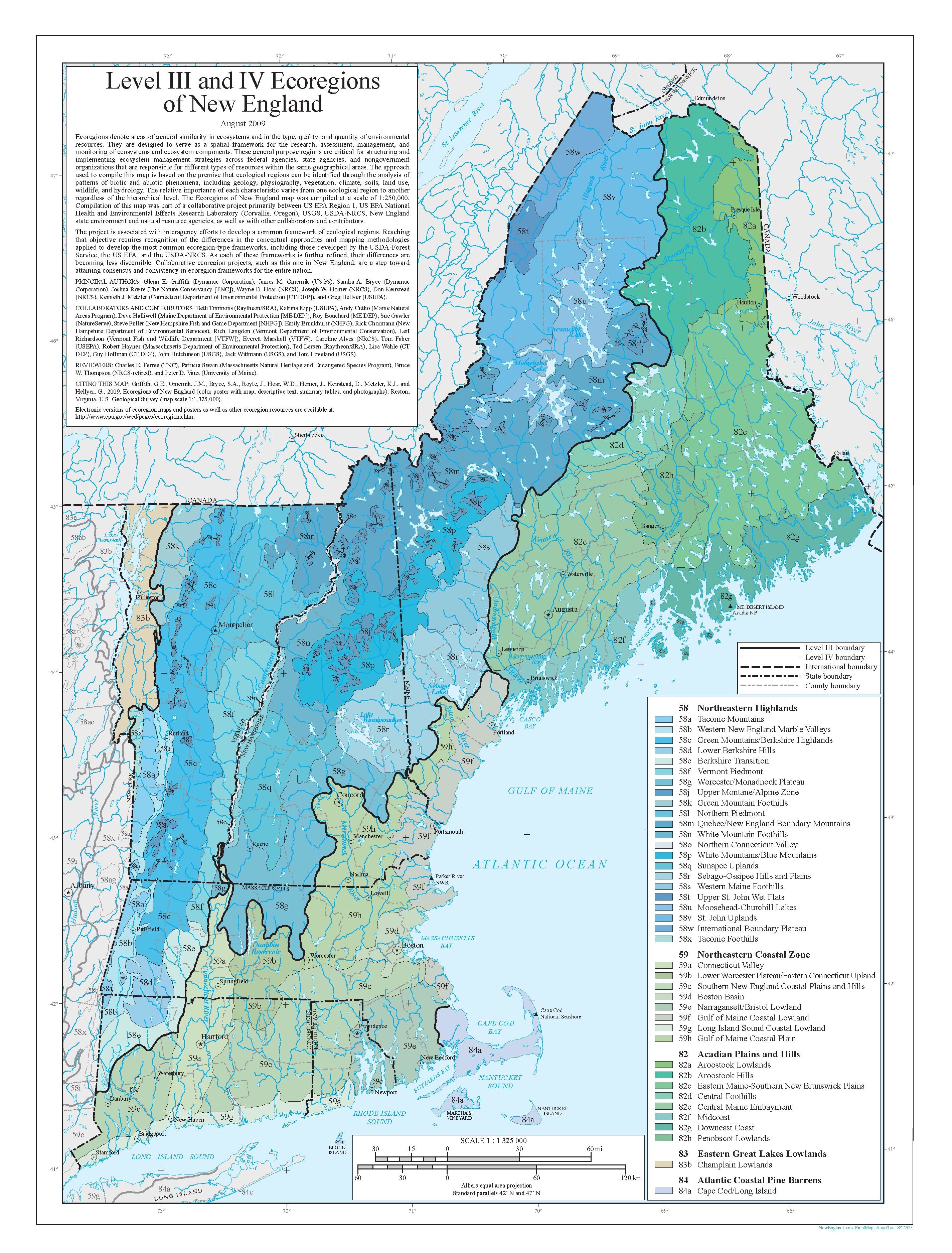
Shows one-third of original poster. A complete online version available via US EPA (web site)
Summary[edit]
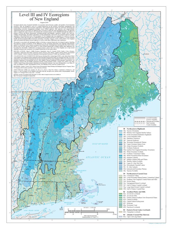
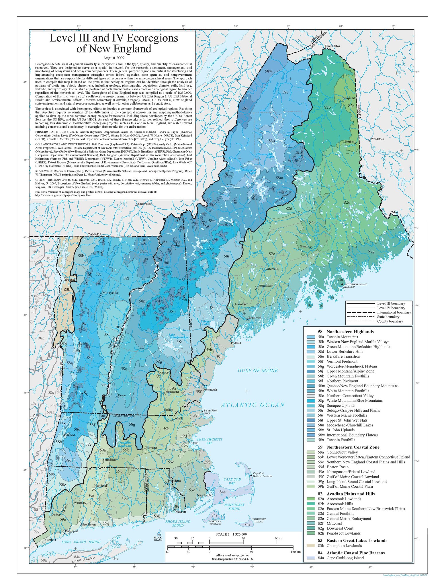
| Description |
English: Map of Level III and Level IV ecoregions in New England in the United States, as defined by the U.S. Environmental Protection Agency |
| Date | |
| Source | https://gaftp.epa.gov/EPADataCommons/ORD/Ecoregions/ma/new_eng_map.pdf via https://www.epa.gov/eco-research/ecoregion-download-files-state-region-1 |
| Author | Griffith, G.E., Omernik, J.M., Bryce, S.A., Royte, J., Hoar, W.D., Homer, J., Keirstead, D., Metzler, K.J., and Hellyer, G. |
This image (or other media) is a work of an Environmental Protection Agency employee, taken or made as part of that person's official duties. As works of the U.S. federal government, all EPA images are in the public domain.
|
||
File history
Click on a date/time to view the file as it appeared at that time.
| Date/Time | Thumbnail | Dimensions | User | Comment | |
|---|---|---|---|---|---|
| current | 00:40, 8 October 2021 |  | 2,850 × 3,750 (1.94 MB) | TimK MSI (talk | contribs) | {{Information |description={{en|1=Map of Level III and Level IV ecoregions in New England in the United States, as defined by the U.S. Environmental Protection Agency}} |date=2009 |source=https://gaftp.epa.gov/EPADataCommons/ORD/Ecoregions/ma/new_eng_map.pdf via https://www.epa.gov/eco-research/ecoregion-download-files-state-region-1 |author=Griffith, G.E., Omernik, J.M., Bryce, S.A., Royte, J., Hoar, W.D., Homer, J., Keirstead, D., Metzler, K.J., and Hellyer, G. |permission= |other versions=... |
You cannot overwrite this file.
File usage on Commons
There are no pages that use this file.