Category:Maps of the Sauerland
Jump to navigation
Jump to search
Media in category "Maps of the Sauerland"
The following 18 files are in this category, out of 18 total.
-
 Fernwege-1.jpg 1,772 × 1,414; 969 KB
-
 Gewerbekarte Regierungsbezirk Arnsberg 1855.jpg 538 × 589; 455 KB
-
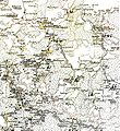
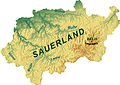
 Karte des Sauerlands.png 401 × 330; 9 KB
-
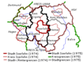 Kreis Iserlohn 1974.png 300 × 226; 30 KB
-
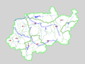
 Kreis Iserlohn.png 600 × 600; 76 KB
-
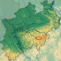 Lage der Saalhauser Berge in NRW.png 598 × 600; 679 KB
-
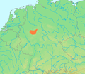
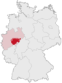 Lage des Sauerlandes in Deutschland.png 176 × 234; 21 KB
-
 Location Sauerland.PNG 506 × 439; 40 KB
-
 Locator map Sauerland in Germany.svg 1,075 × 1,273; 644 KB
-
 Rothaargebirge - Deutsche Mittelgebirge, Serie A-de.png 2,000 × 1,600; 4.59 MB
-
 Sauerland (Lage und Ausdehnung).png 188 × 235; 7 KB
-
 Sauerland-Stammtisch-Manoftours.png 928 × 700; 106 KB
-
 Sauerland2-Manoftours.png 928 × 700; 133 KB
-
 Sauerland2-Manoftours2.png 820 × 615; 135 KB
-
 SauerlandTopo.jpg 11,164 × 7,951; 6.17 MB
-
 SauerlandTopo.png 11,164 × 7,951; 30.31 MB
-
 Übersichtskarte Lennegebirge.png 472 × 296; 299 KB
-
 Übersichtskarte Rothaargebirge.png 556 × 424; 513 KB


.png)


