File:Terra Nova Bay Google Earth usgs view.png
Jump to navigation
Jump to search

Size of this preview: 800 × 400 pixels. Other resolutions: 320 × 160 pixels | 640 × 320 pixels | 1,199 × 599 pixels.
Original file (1,199 × 599 pixels, file size: 1.02 MB, MIME type: image/png)
Captions
Captions
Add a one-line explanation of what this file represents
Summary[edit]
| Description |
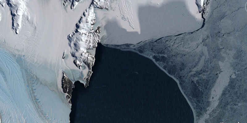
English: Google Earth view of Terra Nova Bay in Antarctica. |
|||
| Date | ||||
| Source | Google Earth. Image U.S. Geological Survey. (See credit in original revision.) | |||
| Author | USGS | |||
| Permission (Reusing this file) |
|
| Camera location | | View this and other nearby images on: OpenStreetMap |
|---|
File history
Click on a date/time to view the file as it appeared at that time.
| Date/Time | Thumbnail | Dimensions | User | Comment | |
|---|---|---|---|---|---|
| current | 02:52, 14 January 2014 | | 1,199 × 599 (1.02 MB) | Oaktree b (talk | contribs) | crop to remove Google Earth bug |
| 02:50, 14 January 2014 |  | 1,266 × 654 (1.2 MB) | Oaktree b (talk | contribs) | User created page with UploadWizard |
You cannot overwrite this file.
File usage on Commons
The following 2 pages use this file:
File usage on other wikis
The following other wikis use this file:
- Usage on ar.wikipedia.org
- Usage on fr.wikipedia.org
- Usage on www.wikidata.org