File:Portland Census Map.pdf
Jump to navigation
Jump to search

Size of this JPG preview of this PDF file: 675 × 600 pixels. Other resolutions: 270 × 240 pixels | 540 × 480 pixels | 865 × 768 pixels | 1,153 × 1,024 pixels | 2,306 × 2,048 pixels | 5,404 × 4,800 pixels.
Original file (5,404 × 4,800 pixels, file size: 3.44 MB, MIME type: application/pdf)
Captions
Captions
Add a one-line explanation of what this file represents
Summary[edit]
| Description |
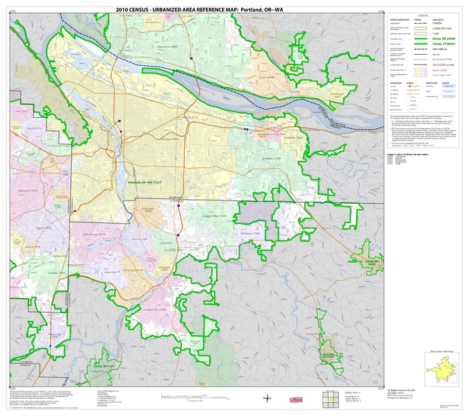
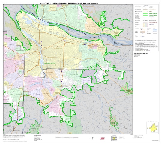
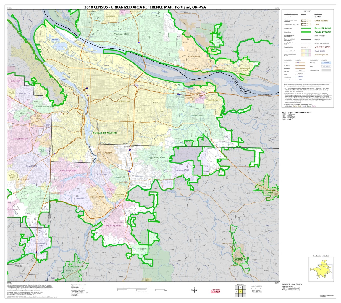
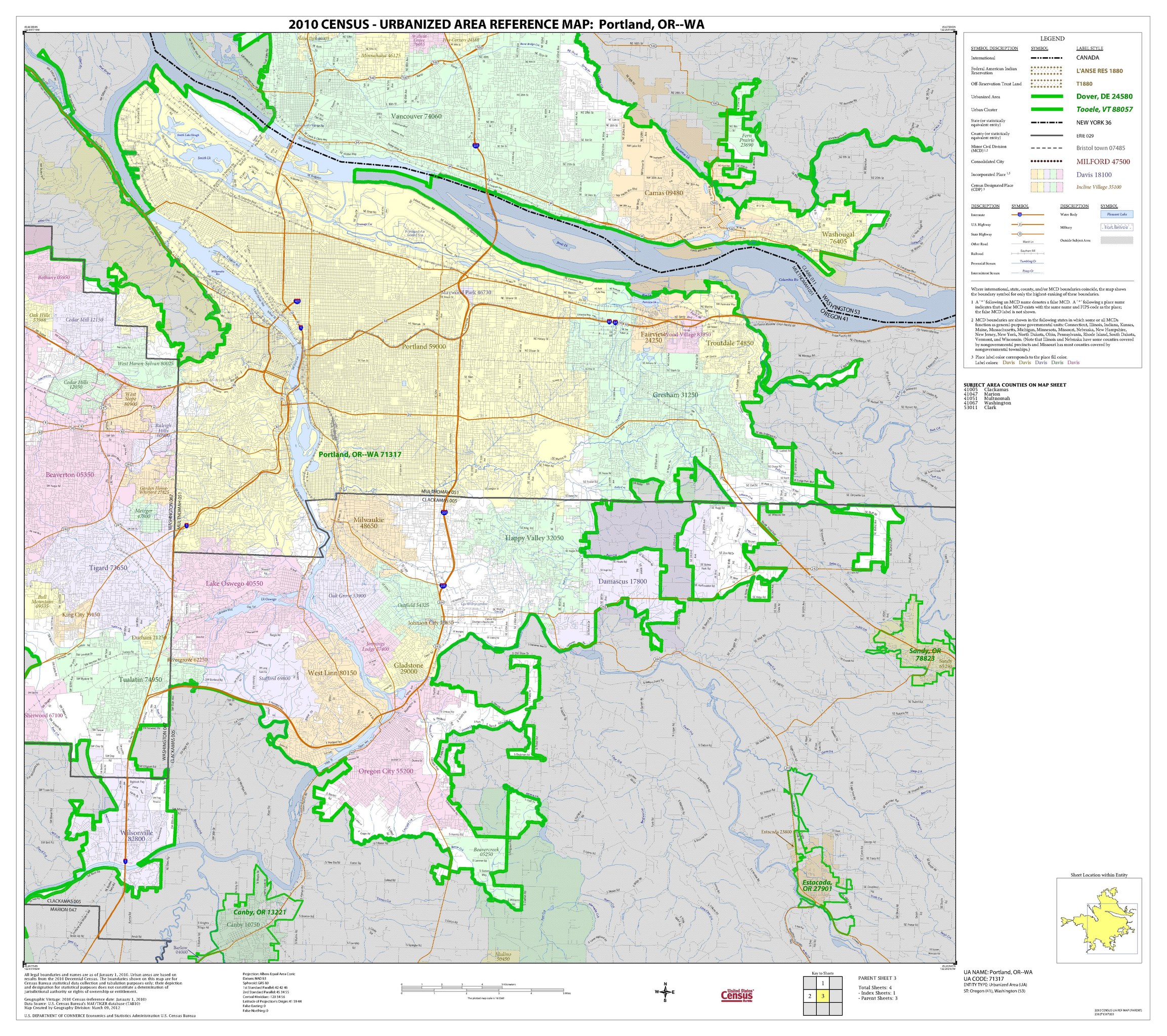
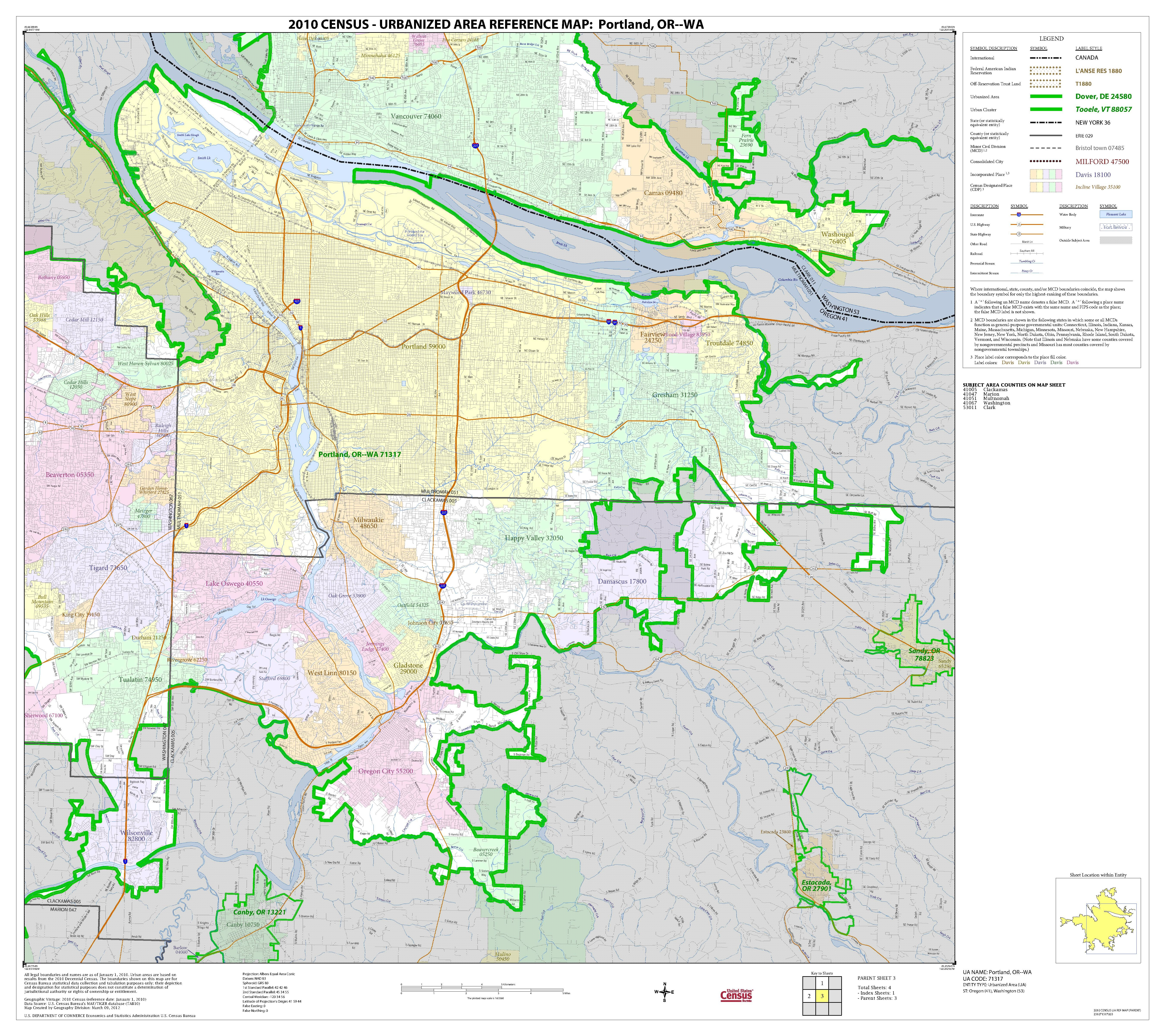
English: Map of Portland, Oregon and surrounding areas |
| Date | |
| Source | http://www2.census.gov/geo/maps/dc10map/UAUC_RefMap/ua/ua71317_portland_or--wa/DC10UA71317_003.pdf |
| Author | United States Census Bureau |
Licensing[edit]
This image or file is a work of a United States Census Bureau employee, taken or made as part of that person's official duties. As a work of the U.S. federal government, the image is in the public domain.
|
 |
File history
Click on a date/time to view the file as it appeared at that time.
| Date/Time | Thumbnail | Dimensions | User | Comment | |
|---|---|---|---|---|---|
| current | 19:54, 16 October 2016 |  | 5,404 × 4,800 (3.44 MB) | Kingofthedead (talk | contribs) | {{Information |Description ={{en|1=Map of Portland, Oregon and surrounding areas}} |Source =http://www2.census.gov/geo/maps/dc10map/UAUC_RefMap/ua/ua71317_portland_or--wa/DC10UA71317_003.pdf |Author =United States Census Bureau |Date... |
You cannot overwrite this file.
File usage on Commons
There are no pages that use this file.