File:Orto 676495 10cm.tif
Jump to navigation
Jump to search

Size of this JPG preview of this TIF file: 600 × 600 pixels. Other resolutions: 240 × 240 pixels | 480 × 480 pixels | 768 × 768 pixels | 1,024 × 1,024 pixels | 2,048 × 2,048 pixels | 10,000 × 10,000 pixels.
Original file (10,000 × 10,000 pixels, file size: 4.85 MB, MIME type: image/tiff)
Captions
Captions
Add a one-line explanation of what this file represents
Summary[edit]
| Warning | The original file is very high-resolution. It might not load properly or could cause your browser to freeze when opened at full size. |
|---|
| Description |
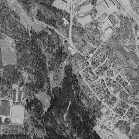
Suomi: Georeferoitu ortokuva Helsingistä vuodelta 1969 Ruutu 676495 Länsi-Pasila |
| Date | |
| Source | http://www.hri.fi/fi/dataset/helsingin-ortokuva-1969 |
| Creator |
Helsingin kaupungin kiinteistövirasto |
| Permission (Reusing this file) |
http://www.hri.fi/lisenssit/hri-nimea/ |
| Georeferencing | If inappropriate please set warp_status = skip to hide. |
Licensing[edit]
This file is licensed under the Creative Commons Attribution 4.0 International license.
- You are free:
- to share – to copy, distribute and transmit the work
- to remix – to adapt the work
- Under the following conditions:
- attribution – You must give appropriate credit, provide a link to the license, and indicate if changes were made. You may do so in any reasonable manner, but not in any way that suggests the licensor endorses you or your use.
This file, which was originally posted to
http://www.hri.fi/lisenssit/hri-nimea/, was reviewed on 17 May 2016 by reviewer Jarekt, who confirmed that it was available there under the stated license on that date.
|
File history
Click on a date/time to view the file as it appeared at that time.
| Date/Time | Thumbnail | Dimensions | User | Comment | |
|---|---|---|---|---|---|
| current | 19:45, 16 May 2016 |  | 10,000 × 10,000 (4.85 MB) | Susannaanas (talk | contribs) | User created page with UploadWizard |
You cannot overwrite this file.
File usage on Commons
There are no pages that use this file.