File:New Hampshire LOC 85695374.tif
Jump to navigation
Jump to search

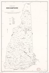
Size of this JPG preview of this TIF file: 406 × 599 pixels. Other resolutions: 162 × 240 pixels | 325 × 480 pixels | 520 × 768 pixels | 694 × 1,024 pixels | 1,388 × 2,048 pixels | 5,116 × 7,549 pixels.
Original file (5,116 × 7,549 pixels, file size: 110.49 MB, MIME type: image/tiff)
Captions
Captions
Add a one-line explanation of what this file represents
Summary[edit]
| Description |
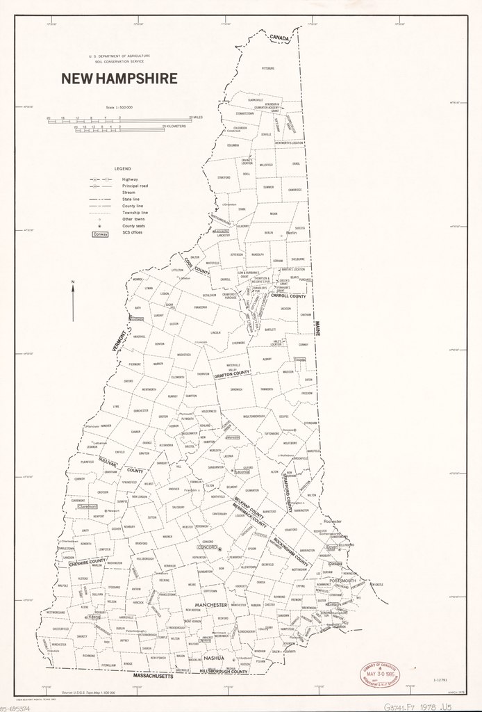
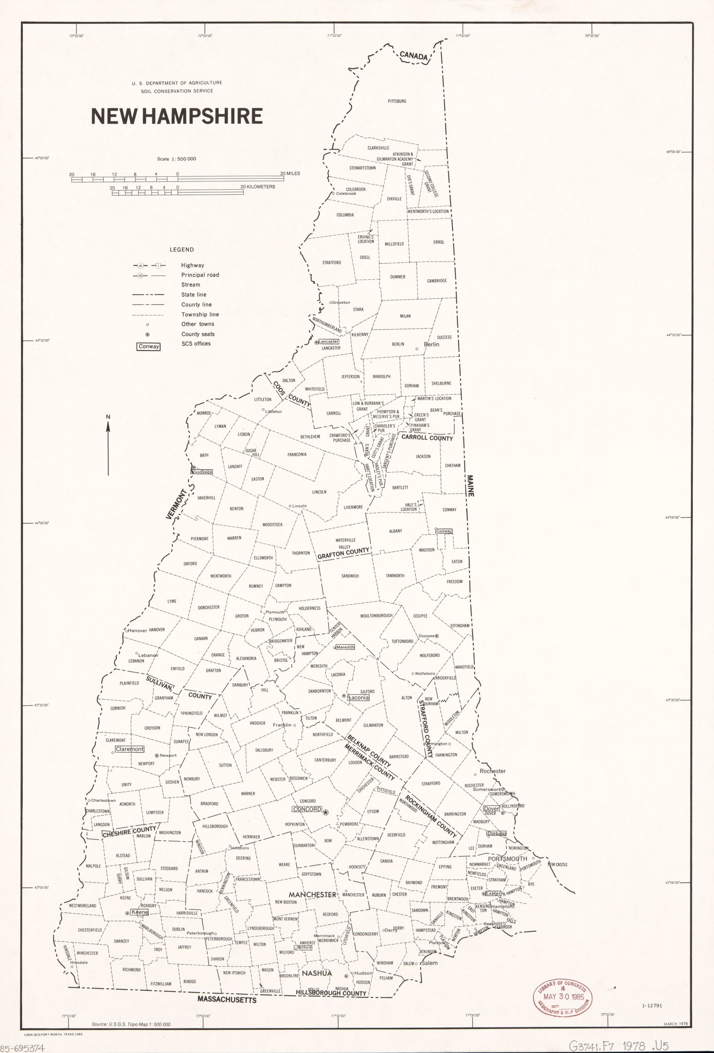
English: Shows minor civil divisions. "March 1978." Includes source note. "1-12791." Available also through the Library of Congress Web site as a raster image. |
||
| Title | New Hampshire | ||
| Shelf ID | G3741.F7 1978 .U5 | ||
| Date | |||
| Source | https://www.loc.gov/item/85695374/ | ||
| Author | United States. Soil Conservation Service | ||
| Permission (Reusing this file) |
|
||
| Other versions |
|
||
| Location | United States · New Hampshire | ||
| Part of | American Memory · General Maps · Catalog · Geography And Map Division | ||
| Subject | United States · Maps · Maps, Outline And Base · New Hampshire · Administrative And Political Divisions |


Licensing[edit]
| This work is from the Library of Congress. According to the library, there are no known copyright restrictions on the use of this work. |  |
File history
Click on a date/time to view the file as it appeared at that time.
| Date/Time | Thumbnail | Dimensions | User | Comment | |
|---|---|---|---|---|---|
| current | 23:32, 6 August 2018 |  | 5,116 × 7,549 (110.49 MB) | Fæ (talk | contribs) | LOC Maps https://www.loc.gov/item/85695374/ #25231 |
You cannot overwrite this file.
File usage on Commons
The following page uses this file: