File:Leaburg Canal Trail (7967344412).jpg
Jump to navigation
Jump to search

Size of this preview: 800 × 600 pixels. Other resolutions: 320 × 240 pixels | 640 × 480 pixels | 1,024 × 768 pixels | 1,280 × 960 pixels | 1,536 × 1,152 pixels.
Original file (1,536 × 1,152 pixels, file size: 702 KB, MIME type: image/jpeg)
Captions
Captions
Add a one-line explanation of what this file represents
Summary[edit]
.jpg&action=edit§ion=1)
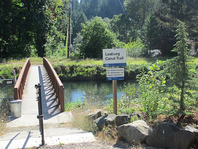
| Description | Alternative to McKenzie Highway for a few miles. Highway shoulder is narrow for quite a few stretches in McKenzie Valley. Wider Shoulders near Rainbow, but not as good west of Blue River. See next few photos in the image stream for more pictures along the canal. |
| Date | |
| Source | Leaburg Canal Trail |
| Author | Robert Ashworth from Bellingham, WA., USA |
| Camera location | | View this and other nearby images on: OpenStreetMap |
|---|
.jpg¶ms=044.134728_N_-122.612314_E_globe:Earth_type:camera_source:Flickr_&language=en)
Licensing[edit]
.jpg&action=edit§ion=2)
This file is licensed under the Creative Commons Attribution 2.0 Generic license.
- You are free:
- to share – to copy, distribute and transmit the work
- to remix – to adapt the work
- Under the following conditions:
- attribution – You must give appropriate credit, provide a link to the license, and indicate if changes were made. You may do so in any reasonable manner, but not in any way that suggests the licensor endorses you or your use.
| This image was originally posted to Flickr by theslowlane at https://flickr.com/photos/90536753@N00/7967344412 (archive). It was reviewed on 23 February 2018 by FlickreviewR 2 and was confirmed to be licensed under the terms of the cc-by-2.0. |
File history
Click on a date/time to view the file as it appeared at that time.
| Date/Time | Thumbnail | Dimensions | User | Comment | |
|---|---|---|---|---|---|
| current | 18:15, 23 February 2018 | | 1,536 × 1,152 (702 KB) | Artix Kreiger 2 (talk | contribs) | Transferred from Flickr via Flickr2Commons |
You cannot overwrite this file.
File usage on Commons
There are no pages that use this file.
.jpg&oldid=702978264)