File:Land planning and classification report relative to public domain, South Platte River Basin (Colorado, Wyoming and Nebraska) (IA landplanningclas5964unit).pdf
Jump to navigation
Jump to search

Size of this JPG preview of this PDF file: 428 × 600 pixels. Other resolutions: 171 × 240 pixels | 342 × 480 pixels | 548 × 768 pixels | 731 × 1,024 pixels | 1,293 × 1,812 pixels.

Original file (1,293 × 1,812 pixels, file size: 8.83 MB, MIME type: application/pdf, 56 pages)
Captions
Captions
Add a one-line explanation of what this file represents
Summary[edit]
| Land planning and classification report relative to public domain, South Platte River Basin (Colorado, Wyoming and Nebraska)
( |
||
|---|---|---|
| Author |
United States. Bureau of Land Management. Region IV |
 |
| Title |
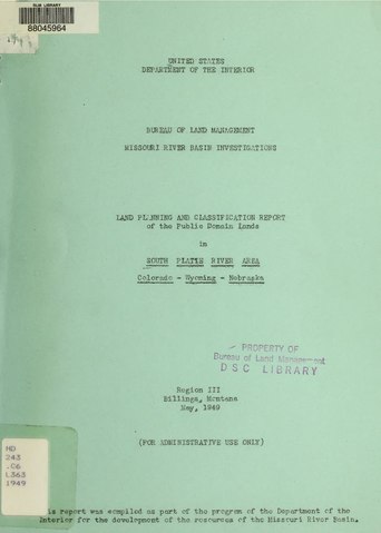
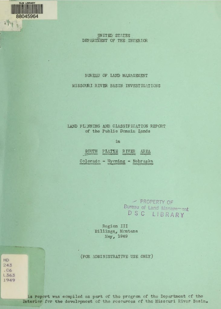
Land planning and classification report relative to public domain, South Platte River Basin (Colorado, Wyoming and Nebraska) |
|
| Publisher |
Salt Lake City, Utah : U.S. Dept. of the Interior, Bureau of Land Management, Region IV |
|
| Description |
1 color fold-out map inside front cover 21"x14", "South Platte River Area. Public Domain Map. Colo.-Wyo.-Neb. May 1949" -- 3 color folded maps in back pocket 20"x33", "Upper South Platte River Area. Missouri Basin Colorado. Land Status. 6/25/51" -- "Upper South Platte River Area. Missouri Basin Colorado. Land Status. 6/25/51. Note on map - Capability Color Legend" -- "Upper South Platte River Area. Missouri Basin Colorado. Land Status. 6/25/51" Subjects: |
|
| Language | English | |
| Publication date | 1953 | |
| Current location |
IA Collections: blmlibrary; fedlink; americana |
|
| Accession number |
landplanningclas5964unit |
|
| Notes | the text/map of the foldout page is very light. | |
| Authority file | OCLC: 1047428496 | |
| Source | ||
Licensing[edit]
This work is in the public domain in the United States because it is a work prepared by an officer or employee of the United States Government as part of that person’s official duties under the terms of Title 17, Chapter 1, Section 105 of the US Code.
Note: This only applies to original works of the Federal Government and not to the work of any individual U.S. state, territory, commonwealth, county, municipality, or any other subdivision. This template also does not apply to postage stamp designs published by the United States Postal Service since 1978. (See § 313.6(C)(1) of Compendium of U.S. Copyright Office Practices). It also does not apply to certain US coins; see The US Mint Terms of Use.
|
 | |
| This file has been identified as being free of known restrictions under copyright law, including all related and neighboring rights. | ||
File history
Click on a date/time to view the file as it appeared at that time.
| Date/Time | Thumbnail | Dimensions | User | Comment | |
|---|---|---|---|---|---|
| current | 23:18, 5 September 2020 |  | 1,293 × 1,812, 56 pages (8.83 MB) | Fæ (talk | contribs) | FEDLINK - United States Federal Collection landplanningclas5964unit (User talk:Fæ/IA books#Fork8) (batch 1000-3000 #194539) |
You cannot overwrite this file.
File usage on Commons
The following page uses this file: