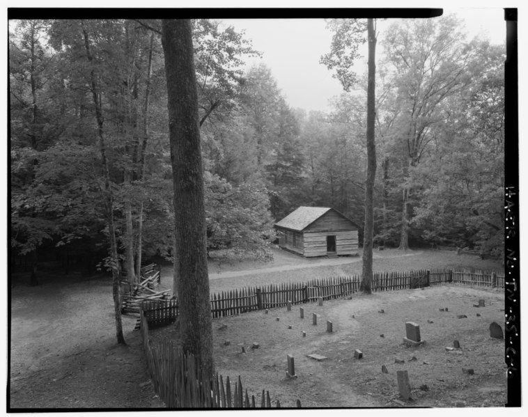
File:LITTLE GREENBRIER SCHOOL CEMETERY AND PARKING AREA LOOKING S, OFF SPUR FROM METCALF BOTTOMS TO WEAR COVE. - Great Smoky Mountains National Park Roads and Bridges, Little River HAER TENN,78-GAT.V,6C-6.tif
Jump to navigation
Jump to search
Size of this JPG preview of this TIF file: 758 × 599 pixels. Other resolutions: 304 × 240 pixels | 607 × 480 pixels | 972 × 768 pixels | 1,280 × 1,012 pixels | 2,560 × 2,024 pixels | 5,000 × 3,953 pixels.
Original file (5,000 × 3,953 pixels, file size: 18.85 MB, MIME type: image/tiff)
Captions
Captions
Add a one-line explanation of what this file represents
Summary[edit]
| Photographer |
Haas, David, creator |
|||
| Title |
LITTLE GREENBRIER SCHOOL CEMETERY AND PARKING AREA LOOKING S, OFF SPUR FROM METCALF BOTTOMS TO WEAR COVE. - Great Smoky Mountains National Park Roads and Bridges, Little River Road, Between Sugarlands Visitor Center and Townsend Wye, Gatlinburg, Sevier County, TN |
|||
| Description |
Bureau of Public Roads; LIttle River Lumber Company; Eakin, J Ross; Troitino and Brown; Gatlinburg Construction Company; Harrison Construction Company; F and E Construction; Blalock and Sons; Lupyak, Edward, field team project manager; Quin, Richard, project manager; Croteau, Todd, project manager; Great Smoky Mountains National Park, sponsor; National Park Service Roads and Parkway Program, sponsor; Federal Lands Highway Program, sponsor |
|||
| Depicted place | Tennessee; Sevier County; Gatlinburg | |||
| Date | 1996 | |||
| Dimensions | 4 x 5 in. | |||
| Current location |
Library of Congress Prints and Photographs Division Washington, D.C. 20540 USA http://hdl.loc.gov/loc.pnp/pp.print |
|||
| Accession number |
HAER TENN,78-GAT.V,6C-6 |
|||
| Credit line |
|
|||
| Notes |
|
|||
| Source | https://www.loc.gov/pictures/item/tn0280.photos.365880p | |||
| Permission (Reusing this file) |
|

File history
Click on a date/time to view the file as it appeared at that time.
| Date/Time | Thumbnail | Dimensions | User | Comment | |
|---|---|---|---|---|---|
| current | 02:30, 2 August 2014 |  | 5,000 × 3,953 (18.85 MB) | Fæ (talk | contribs) | GWToolset: Creating mediafile for Fæ. HABS 2014-08-01 (3201:3400) |
You cannot overwrite this file.
File usage on Commons
The following page uses this file: