File:Government Island 1985.jpg
Jump to navigation
Jump to search
No higher resolution available.
Government_Island_1985.jpg (639 × 479 pixels, file size: 119 KB, MIME type: image/jpeg)
Captions
Captions
Add a one-line explanation of what this file represents
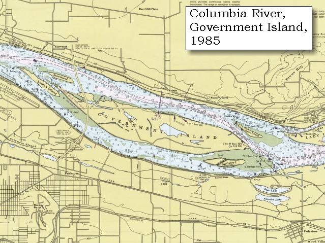
| Description | 1985 map of Government Island in Multnomah County, Oregon, USA. | |||
| Source | United States Geological Survey [1] | |||
| Author | USGS | |||
| Permission (Reusing this file) |
|
File history
Click on a date/time to view the file as it appeared at that time.
| Date/Time | Thumbnail | Dimensions | User | Comment | |
|---|---|---|---|---|---|
| current | 05:13, 10 March 2008 | | 639 × 479 (119 KB) | Axcordion~commonswiki (talk | contribs) | {{Information |Description=1985 map of Government Island in Multnomah County, Oregon, USA. |Source=United States Geological Survey [http://vulcan.wr.usgs.gov/LivingWith/Historical/LewisClark/volcanoes_lewis_clark_november_04_1805.html] |Date= |Author=USGS |
You cannot overwrite this file.
File usage on Commons
There are no pages that use this file.
File usage on other wikis
The following other wikis use this file:
- Usage on ceb.wikipedia.org
- Usage on en.wikipedia.org
- Usage on www.wikidata.org