File:Germania.svg
Jump to navigation
Jump to search

Size of this PNG preview of this SVG file: 747 × 599 pixels. Other resolutions: 299 × 240 pixels | 598 × 480 pixels | 957 × 768 pixels | 1,276 × 1,024 pixels | 2,552 × 2,048 pixels | 972 × 780 pixels.
Original file (SVG file, nominally 972 × 780 pixels, file size: 398 KB)
Captions
Captions
Add a one-line explanation of what this file represents
Summary[edit]
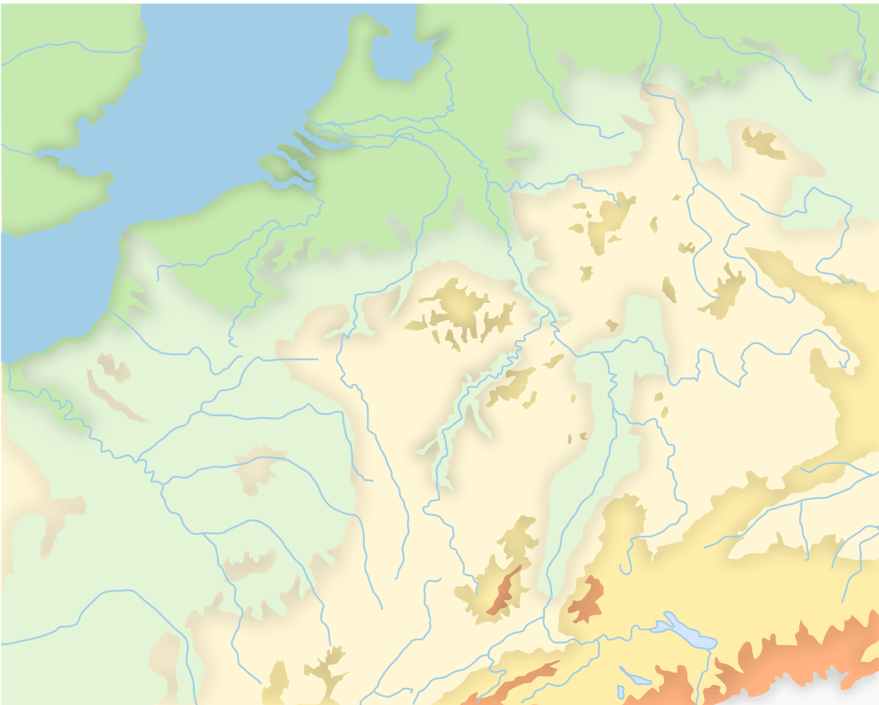
| Description | Topographic map of the Rhine valley region and North-Eastern France |
| Date | |
| Source | Own creation |
| Author | ArdadN |
| Permission (Reusing this file) |
Permission is granted to copy, distribute and/or modify this document under the terms of the GNU Free Documentation License, Version 1.2 or any later version |
Licensing[edit]
| I, the copyright holder of this work, release this work into the public domain. This applies worldwide. In some countries this may not be legally possible; if so: I grant anyone the right to use this work for any purpose, without any conditions, unless such conditions are required by law. |
File history
Click on a date/time to view the file as it appeared at that time.
| Date/Time | Thumbnail | Dimensions | User | Comment | |
|---|---|---|---|---|---|
| current | 13:06, 18 December 2007 | | 972 × 780 (398 KB) | ArdadN (talk | contribs) | |
| 13:02, 18 December 2007 |  | 972 × 780 (398 KB) | ArdadN (talk | contribs) | {{Information |Description=Topographic map of the Rhine valley region and North-Eastern France |Source=Own creation |Date=17.12.2007 |Author=Andrei nacu |Permission=Permission is granted to copy, distribute and/or modify this document under the terms of t |
You cannot overwrite this file.
File usage on Commons
The following 2 pages use this file: