File:Flowpath, Fishing Creek watershed, Frederick County, Maryland LOC 92683639.tif
Jump to navigation
Jump to search

Size of this JPG preview of this TIF file: 800 × 586 pixels. Other resolutions: 320 × 234 pixels | 640 × 469 pixels | 1,024 × 750 pixels | 1,280 × 937 pixels | 2,560 × 1,875 pixels | 6,768 × 4,956 pixels.
Original file (6,768 × 4,956 pixels, file size: 95.97 MB, MIME type: image/tiff)
Captions
Captions
Add a one-line explanation of what this file represents
Summary[edit]
| Description |
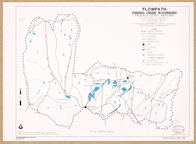
English: "November 1991." "Map prepared using automated map construction, National Cartographic Center ... 1991." "1006770." Available also through the Library of Congress Web site as a raster image. |
||
| Title | Flowpath, Fishing Creek watershed, Frederick County, Maryland | ||
| Shelf ID | G3842.F53C3 1991 .U5 | ||
| Date | |||
| Source | https://www.loc.gov/item/92683639/ | ||
| Author | United States. Soil Conservation Service; Maryland. Water Resources Administration; National Cartographic Center (U.S.) | ||
| Permission (Reusing this file) |
|
||
| Other versions |
|
||
| Location | United States · Maryland · Frederick County · Fishing Creek Watershed | ||
| Part of | American Memory · Catalog · Geography And Map Division · Additional Conservation And Environment Cartographic Items | ||
| Subject | Streamflow · Fishing Creek Watershed (Frederick County) · United States · Maps · Frederick County · Fishing Creek Watershed · Maryland |


Licensing[edit]
| This work is from the Library of Congress. According to the library, there are no known copyright restrictions on the use of this work. |  |
File history
Click on a date/time to view the file as it appeared at that time.
| Date/Time | Thumbnail | Dimensions | User | Comment | |
|---|---|---|---|---|---|
| current | 21:51, 30 May 2018 |  | 6,768 × 4,956 (95.97 MB) | Fæ (talk | contribs) | LOC Maps https://www.loc.gov/item/92683639/ #15646 |
You cannot overwrite this file.
File usage on Commons
The following page uses this file: