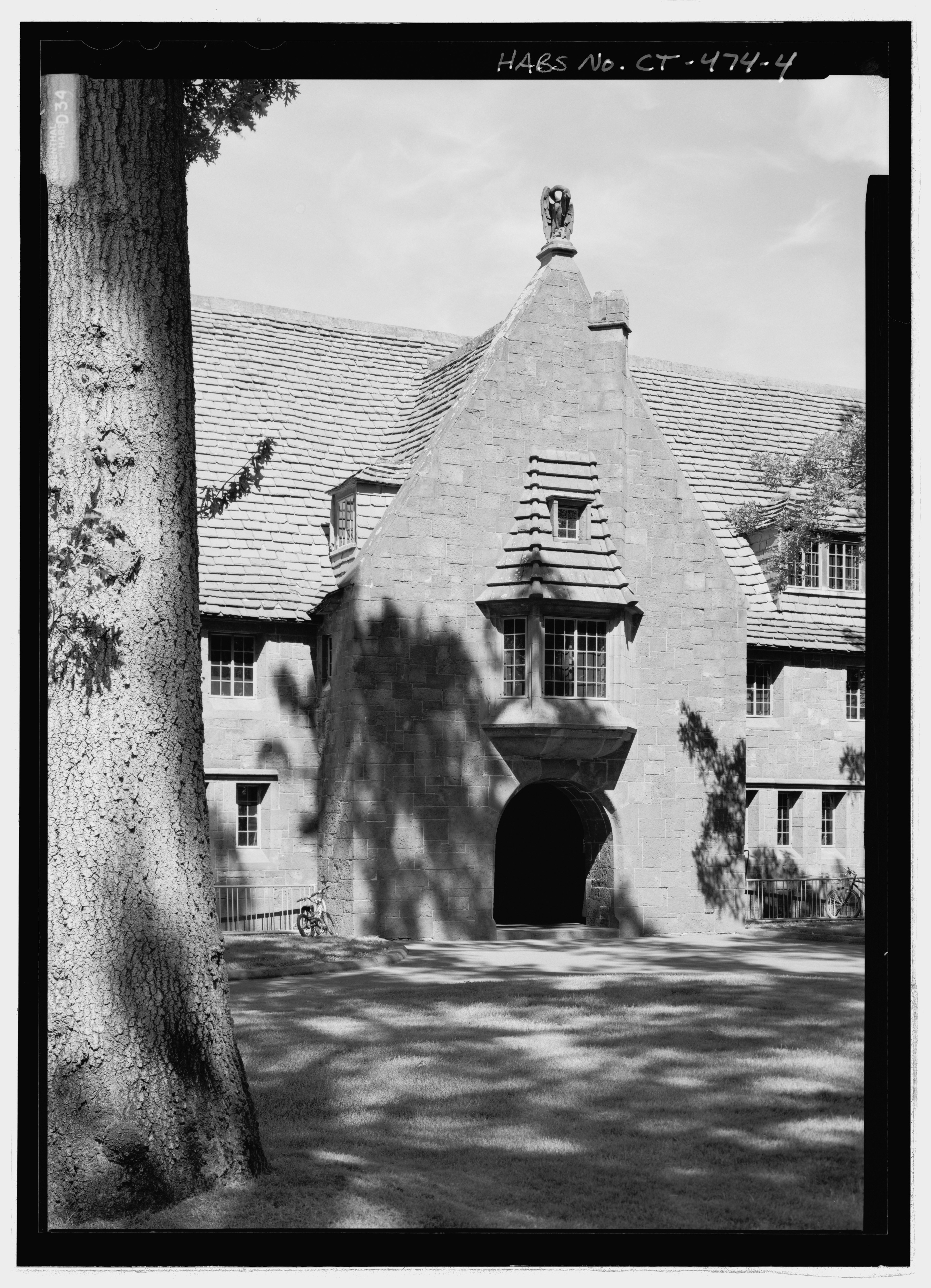
File:Detail view of interior east facade of Pope Quadrangle from northwest. Note pelican sculpture at top of gable. - Avon Old Farms School, 500 Avon Old Farms Road, Avon, Hartford County, CT HABS CT-474-4.tif
Jump to navigation
Jump to search

Size of this JPG preview of this TIF file: 433 × 599 pixels. Other resolutions: 173 × 240 pixels | 347 × 480 pixels | 555 × 768 pixels | 740 × 1,024 pixels | 1,480 × 2,048 pixels | 3,845 × 5,319 pixels.
Original file (3,845 × 5,319 pixels, file size: 19.51 MB, MIME type: image/tiff)
Captions
Captions
Add a one-line explanation of what this file represents
Summary[edit]
| Detail view of interior east facade of Pope Quadrangle from northwest. Note pelican sculpture at top of gable. - Avon Old Farms School, 500 Avon Old Farms Road, Avon, Hartford County, CT | ||||
|---|---|---|---|---|
| Photographer |
Rosenthal, James W. Related names:
|
|||
| Title |
Detail view of interior east facade of Pope Quadrangle from northwest. Note pelican sculpture at top of gable. - Avon Old Farms School, 500 Avon Old Farms Road, Avon, Hartford County, CT |
|||
| Depicted place | Connecticut; Hartford County; Avon | |||
| Date | 2006 | |||
| Dimensions | 5 x 7 in. | |||
| Current location |
Library of Congress Prints and Photographs Division Washington, D.C. 20540 USA http://hdl.loc.gov/loc.pnp/pp.print |
|||
| Accession number |
HABS CT-474-4 |
|||
| Credit line |
|
|||
| Notes |
|
|||
| Source | https://www.loc.gov/pictures/item/ct0702.photos.222807p | |||
| Permission (Reusing this file) |
|
|||

| Object location | | View this and other nearby images on: OpenStreetMap |
|---|
File history
Click on a date/time to view the file as it appeared at that time.
| Date/Time | Thumbnail | Dimensions | User | Comment | |
|---|---|---|---|---|---|
| current | 03:38, 9 July 2014 |  | 3,845 × 5,319 (19.51 MB) | Fæ (talk | contribs) | GWToolset: Creating mediafile for Fæ. HABS 06 July 2014 (611:700) |
You cannot overwrite this file.
File usage on Commons
The following page uses this file: