File:BUILDER'S PLATE ON SOUTHEAST END CHORD OF PONY TRUSS - Hominy Creek Bridge, Spanning Hominy Creek, Hominy, Osage County, OK HAER OKLA,57-HOM.V,1-15.tif
Jump to navigation
Jump to search

Size of this JPG preview of this TIF file: 755 × 600 pixels. Other resolutions: 302 × 240 pixels | 605 × 480 pixels | 967 × 768 pixels | 1,280 × 1,017 pixels | 2,560 × 2,033 pixels | 5,000 × 3,971 pixels.
Original file (5,000 × 3,971 pixels, file size: 18.94 MB, MIME type: image/tiff)
Captions
Captions
Add a one-line explanation of what this file represents
Summary[edit]
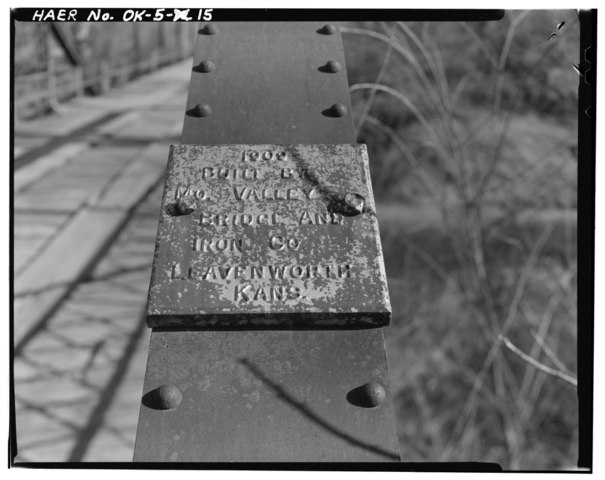
| BUILDER'S PLATE ON SOUTHEAST END CHORD OF PONY TRUSS - Hominy Creek Bridge, Spanning Hominy Creek, Hominy, Osage County, OK | ||||
|---|---|---|---|---|
| Photographer |
Related names:
|
|||
| Title |
BUILDER'S PLATE ON SOUTHEAST END CHORD OF PONY TRUSS - Hominy Creek Bridge, Spanning Hominy Creek, Hominy, Osage County, OK |
|||
| Depicted place | Oklahoma; Osage County; Hominy | |||
| Date | Documentation compiled after 1968 | |||
| Dimensions | 4 x 5 in. | |||
| Current location |
Library of Congress Prints and Photographs Division Washington, D.C. 20540 USA http://hdl.loc.gov/loc.pnp/pp.print |
|||
| Accession number |
HAER OKLA,57-HOM.V,1-15 |
|||
| Credit line |
|
|||
| Notes |
|
|||
| Source | https://www.loc.gov/pictures/item/ok0058.photos.353936p | |||
| Permission (Reusing this file) |
|
|||

| Object location | | View this and other nearby images on: OpenStreetMap |
|---|
File history
Click on a date/time to view the file as it appeared at that time.
| Date/Time | Thumbnail | Dimensions | User | Comment | |
|---|---|---|---|---|---|
| current | 19:58, 30 July 2014 |  | 5,000 × 3,971 (18.94 MB) | Fæ (talk | contribs) | GWToolset: Creating mediafile for Fæ. HABS 30 July 2014 (2601:2900) |
You cannot overwrite this file.
File usage on Commons
The following page uses this file: