File:1942 topographic map of Salem USGS.jpg
Jump to navigation
Jump to search
Size of this preview: 496 × 599 pixels. Other resolutions: 199 × 240 pixels | 397 × 480 pixels | 636 × 768 pixels | 848 × 1,024 pixels | 1,696 × 2,048 pixels | 3,056 × 3,691 pixels.
Original file (3,056 × 3,691 pixels, file size: 4.62 MB, MIME type: image/jpeg)
Captions
Captions
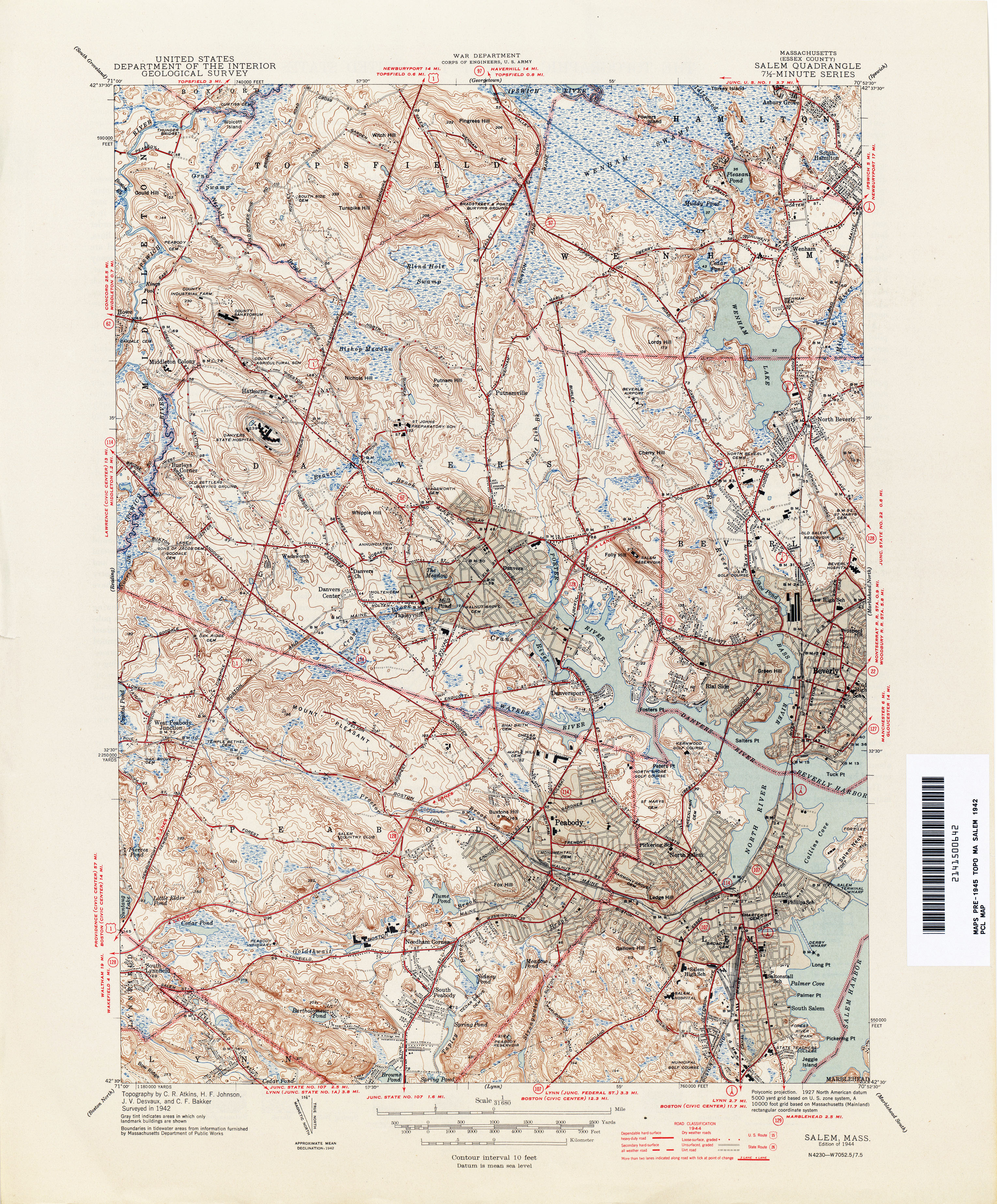
1942 Topographic map of Salem
Summary[edit]
| Description |
English: This is a topographic map of Salem and surrounding communities from 1942. |
| Date | |
| Source | https://maps.lib.utexas.edu/maps/topo/massachusetts/ |
| Author | United States Geological Survey, US Department of the Interior. 1942 |
Licensing[edit]
This image is in the public domain in the United States because it only contains materials that originally came from the United States Geological Survey, an agency of the United States Department of the Interior. For more information, see the official USGS copyright policy.
|
File history
Click on a date/time to view the file as it appeared at that time.
| Date/Time | Thumbnail | Dimensions | User | Comment | |
|---|---|---|---|---|---|
| current | 16:54, 25 August 2022 | | 3,056 × 3,691 (4.62 MB) | Knowledgekid87 (talk | contribs) | Uploaded a work by United States Geological Survey, US Department of the Interior. 1942 from https://maps.lib.utexas.edu/maps/topo/massachusetts/ with UploadWizard |
You cannot overwrite this file.
File usage on Commons
The following 3 pages use this file:
File usage on other wikis
The following other wikis use this file:
- Usage on en.wikipedia.org