File:საქართველოს საზღვრების რუკა 1919.jpg
Jump to navigation
Jump to search

Size of this preview: 800 × 580 pixels. Other resolutions: 320 × 232 pixels | 640 × 464 pixels | 1,024 × 743 pixels | 1,140 × 827 pixels.
Original file (1,140 × 827 pixels, file size: 239 KB, MIME type: image/jpeg)
Captions
Captions
Add a one-line explanation of what this file represents
Summary[edit]
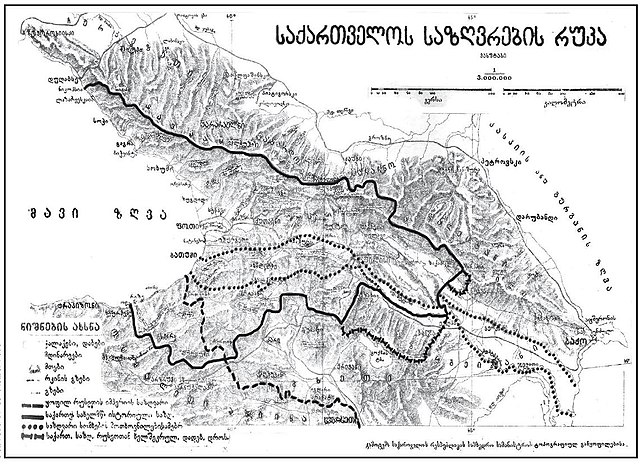
| Description |
ქართული: ”საქართველოს საზღვრების რუკა”. საქართველოს რესპუბლიკის სამხედრო სამინისტროს გამოცემა |
|||
| Date | ||||
| Source | [1] | |||
| Author | საქართველოს რესპუბლიკის სამხედრო სამინისტრო | |||
| Permission (Reusing this file) |
|

![[1]](http://iberiana.files.wordpress.com/2009/10/saqartvelo.jpg)
Source:[edit]
File history
Click on a date/time to view the file as it appeared at that time.
| Date/Time | Thumbnail | Dimensions | User | Comment | |
|---|---|---|---|---|---|
| current | 17:48, 8 May 2010 | | 1,140 × 827 (239 KB) | Kober (talk | contribs) | == Summary == {{Information |Description={{ka|1=”საქართველოს საზღვრების რუკა”. საქართველოს რესპუბლიკის სამხედრო სამინისტრ� |
You cannot overwrite this file.
File usage on Commons
There are no pages that use this file.
File usage on other wikis
The following other wikis use this file:
- Usage on hy.wikipedia.org
- Usage on ka.wikipedia.org
- Usage on xmf.wikipedia.org
- Usage on zh.wikipedia.org