Category:United States Senate election maps of Michigan
Jump to navigation
Jump to search
States of the United States: Alabama · Alaska · Arizona · Arkansas · California · Colorado · Connecticut · Delaware · Florida · Hawaii · Idaho · Illinois · Indiana · Iowa · Kansas · Kentucky · Louisiana · Maine · Maryland · Massachusetts · Michigan · Minnesota · Mississippi · Missouri · Montana · Nebraska · Nevada · New Hampshire · New Jersey · New Mexico · New York · North Carolina · North Dakota · Ohio · Oklahoma · Oregon · Pennsylvania · Rhode Island · South Carolina · South Dakota · Tennessee · Texas · Utah · Vermont · Virginia · Washington · West Virginia · Wisconsin · Wyoming
Subcategories
This category has only the following subcategory.
Media in category "United States Senate election maps of Michigan"
The following 18 files are in this category, out of 18 total.
-
 1936 US Senate election in Michigan results.svg 800 × 930; 2.57 MB
-
 1948 Michigan Senate Election.svg 810 × 810; 43 KB
-
 1948 United States Senate Election in Michigan County Map.png 679 × 795; 86 KB
-
-
-
-

-
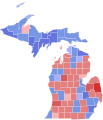
 2018 Senate election results in Michigan.png 2,462 × 2,679; 448 KB
-
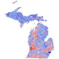
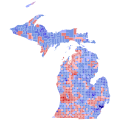
 2018 United States Senate election in Michigan Precinct Level Results.svg 1,052 × 744; 13.95 MB
-
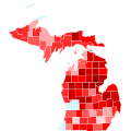
 2020 US Senate election in Michigan by swing.svg 810 × 810; 278 KB
-
 2020 US Senate election in Michigan by trend.svg 810 × 810; 278 KB
-
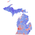
 Mi sen 2012.png 550 × 400; 16 KB
-
 MI Senate 2020-1.svg 744 × 744; 7.48 MB
-
 MI-2018-sen-districts.svg 810 × 810; 96 KB
-
 Michigan Senate Election Results by County, 1918.png 1,116 × 1,216; 134 KB
-
 Michigan Senate Election Results by County, 2002.svg 287 × 313; 102 KB
-
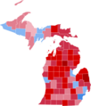
 Michigan Senatorial Election Results by county, 2008.png 512 × 599; 77 KB
-
 MICountiesSenResults.png 512 × 599; 60 KB


