Category:Nearctic maps of WWF ecoregions
Jump to navigation
Jump to search
Subcategories
This category has only the following subcategory.
N
- Nearctic SVG maps of WWF ecoregions (121 F)
Media in category "Nearctic maps of WWF ecoregions"
The following 9 files are in this category, out of 9 total.
-
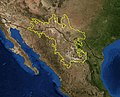 Chihuahua desert.jpg 400 × 324; 78 KB
-
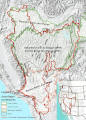 Great Basin Ecoregions.gif 1,318 × 1,842; 1,004 KB
-
 Great Basin Ecoregions.jpg 683 × 942; 846 KB
-
 Sierra Madre Oriental Oak-Pine Forests map.svg 1,712 × 1,992; 345 KB
-
 Tamaulipan Matorral map.svg 1,712 × 1,992; 342 KB
-
 Tamaulipan Mezquital Map.jpg 1,967 × 2,358; 2.08 MB
-
 Tamaulipan Pastizal map.svg 1,712 × 1,992; 341 KB
-
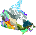 Terrestrial ecoregions CAN.svg 1,287 × 1,245; 391 KB
-
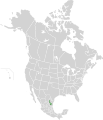
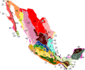 Terrestrial ecoregions MEX.svg 695 × 573; 385 KB


