Category:Maps showing 1477
Jump to navigation
Jump to search
| 1470 1475 1477 1479 |
English: Maps showing the year 1477 (i.e. history maps)
See also category: 1477 maps. and 1470s maps for old maps created in this time.
See also category: 1477 maps. and 1470s maps for old maps created in this time.
Media in category "Maps showing 1477"
The following 23 files are in this category, out of 23 total.
-
 Gelre1477.png 772 × 673; 937 KB
-
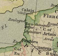 Bonen1477.png 237 × 230; 88 KB
-
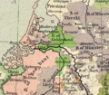
 Brabant1477.png 409 × 362; 331 KB
-
 Brandenburg1477.png 596 × 392; 405 KB
-
 France location map-1477-blank.png 2,000 × 1,922; 313 KB
-
 France location map-1477-blank.svg 2,000 × 1,922; 820 KB
-
 França el 1477.png 602 × 644; 398 KB
-
 Hertogdom Berg in 1477.JPG 168 × 193; 11 KB
-
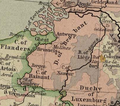
 Map Burgundian Netherlands 1477.png 591 × 657; 198 KB
-
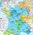 Map France 1477-br.svg 900 × 970; 1,021 KB
-
 Map France 1477-de.svg 900 × 970; 2.74 MB
-
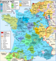
 Map France 1477-en accurate border.svg 900 × 970; 983 KB
-
 Map France 1477-en sovereign Béarn.png 900 × 970; 608 KB
-
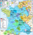 Map France 1477-en.svg 900 × 970; 1 MB
-
 Map France 1477-es.svg 900 × 970; 1.53 MB
-
 Map France 1477-fr sovereign Béarn.svg 900 × 970; 1.14 MB
-
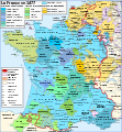
 Map France 1477-fr.svg 900 × 970; 1.16 MB
-
 Map France 1477-pt.svg 900 × 970; 1.22 MB
-
 Map France 1477-ru.svg 900 × 970; 1.16 MB
-
 Map France 1477-uk.svg 900 × 970; 1.14 MB
-
 Map Southern France 1477-ru.png 888 × 383; 270 KB
-
 Oostr1477.png 800 × 600; 1.38 MB
-
 Pays de Retz.jpg 222 × 171; 10 KB


