Category:Maps of the history of Kolkata
Jump to navigation
Jump to search
Media in category "Maps of the history of Kolkata"
The following 4 files are in this category, out of 4 total.
-
 Kolkata Map 1690-bn.jpg 749 × 1,020; 195 KB
-
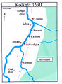 Kolkata Map 1690.jpg 749 × 1,020; 296 KB
-
 Map of the Tea-Horse road.png 800 × 588; 121 KB
-
 Relations among Kolkata District, police area, KMC.jpg 3,308 × 2,336; 921 KB


