Category:Maps of the Pandyan Dynasty
Jump to navigation
Jump to search
Media in category "Maps of the Pandyan Dynasty"
The following 11 files are in this category, out of 11 total.
-
 ImperioPandya1251-1283AD.svg 831 × 857; 592 KB
-
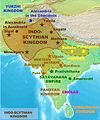 Indo-ScythiansMap.jpg 1,804 × 2,160; 628 KB
-
 IndoGreekKingdom-pt.svg 1,035 × 1,046; 493 KB
-
 Pandya Kingdom (south India).png 1,720 × 1,338; 443 KB
-
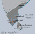 Pandya territories (Tamil).png 430 × 427; 52 KB
-
 Pandya territories1.svg 430 × 427; 67 KB
-
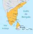
 Pandyan kingdom.jpg 538 × 457; 52 KB
-
 Rivers, lakes, and boundries of the Indo-Parthian kingdom-es.svg 693 × 834; 902 KB
-
 Rivers, lakes, and boundries of the Indo-Parthian kingdom-pt.svg 693 × 834; 757 KB
-
 Rivers, lakes, and boundries of the Indo-Parthian kingdom.svg 693 × 834; 755 KB
-
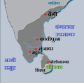
 South India in AD 1100.jpg 359 × 301; 92 KB


.png)
.png)


