Category:Maps of the Borough of Amber Valley
Jump to navigation
Jump to search
Media in category "Maps of the Borough of Amber Valley"
The following 17 files are in this category, out of 17 total.
-
 Amber Valley (42993273452).png 1,344 × 984; 107 KB
-
 AMBER VALLEY (49910743711).png 2,160 × 1,080; 451 KB
-
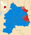 Amber Valley UK local election 2000 map.svg 1,170 × 1,305; 501 KB
-
 Amber Valley UK local election 2002 map.svg 1,170 × 1,305; 500 KB
-
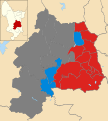
 Amber Valley UK local election 2003 map.svg 1,170 × 1,305; 500 KB
-
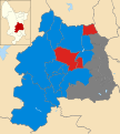
 Amber Valley UK local election 2004 map.svg 1,170 × 1,305; 500 KB
-
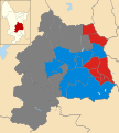
 Amber Valley UK local election 2011 map.svg 1,170 × 1,305; 500 KB
-
 Amber Valley UK local election 2018 map.svg 1,170 × 1,305; 500 KB
-
 Amber Valley UK local election 2021 map.svg 1,170 × 1,305; 501 KB
-
 Amber Valley UK locator map.svg 884 × 1,305; 1,000 KB
-
 Amber Valley UK ward map 2010 (blank).svg 1,170 × 1,305; 500 KB
-
 Amber Valley wards 2012.svg 1,170 × 1,305; 500 KB
-
 Amber Valley wards 2014.svg 1,170 × 1,305; 500 KB
-
 Amber Valley wards 2015.svg 1,170 × 1,305; 500 KB
-
 Amber Valley wards 2016.svg 1,170 × 1,305; 500 KB
-
 DerbyshireAmberValley.png 200 × 314; 18 KB
-
 Riddings unparished area UK locator map.svg 1,170 × 1,305; 590 KB
.png)
.png)


.svg)