Category:Maps of Central Europe in the 10th-century
Jump to navigation
Jump to search
Media in category "Maps of Central Europe in the 10th-century"
The following 2 files are in this category, out of 2 total.
-
 Alamannien Hochburgund ca 1000.png 2,500 × 2,107; 1.11 MB
-
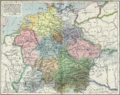 Central europe 919 1125.png 2,281 × 1,801; 2.91 MB

