Category:Maps of Baton Rouge
Jump to navigation
Jump to search
Subcategories
This category has the following 2 subcategories, out of 2 total.
O
Media in category "Maps of Baton Rouge"
The following 19 files are in this category, out of 19 total.
-
-
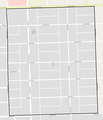
 Baton Rouge Downtown, Louisiana.png 1,753 × 2,263; 1.59 MB
-
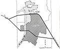
 Baton Rouge Port Allen Map Louisiana 1963.jpg 3,740 × 4,500; 4.56 MB
-
 Baton Rouge, Louisiana 1955 Yellow Book.jpg 800 × 652; 127 KB
-
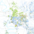
 Baton Rouge, Louisiana.png 1,648 × 2,352; 2.2 MB
-
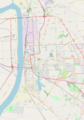
 BatonRouge EBatonRouge.png 1,170 × 800; 197 KB
-
 Beauregard Town Historic District, LA.png 1,622 × 1,221; 878 KB
-
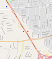
 Clipping of US 61-190 Bypass with old route numbers.png 579 × 349; 59 KB
-

-
 Kleinert Terrace Historic District, LA.png 1,252 × 624; 149 KB
-
 Louisiana State University, Baton Rouge, LA.png 2,067 × 1,890; 1.33 MB
-
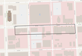 Main Street Historic District, LA.png 1,807 × 1,228; 283 KB
-
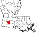 Map of Louisiana highlighting Jefferson Davis Parish.svg 5,018 × 4,515; 269 KB
-
 Race and ethnicity 2010- Baton Rouge (5559862075).png 3,009 × 3,009; 1.82 MB
-
 Race and ethnicity 2020 Baton Rouge, LA.png 2,400 × 2,404; 2.89 MB
-
 Roseland Terrace Historic District, LA.png 1,243 × 1,444; 234 KB
-
 Southern University Historic District, LA.png 1,046 × 993; 62 KB
-
 Spanish Town, LA.png 1,970 × 1,879; 510 KB
-
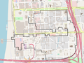
 US 61 190 Business (Baton Rouge) map.svg 1,205 × 709; 1.89 MB


.png)


_map.svg)