SkyTrain (Vancouver)
Jump to navigation
Jump to search
automated rapid transit system in Metro Vancouver, Canada   | |||||
| Upload media | |||||
| Instance of |
| ||||
|---|---|---|---|---|---|
| Part of | |||||
| Location | Vancouver, Metro Vancouver Regional District, British Columbia, Canada | ||||
| Owned by | |||||
| Operator | |||||
| Has part(s) | |||||
| Inception |
| ||||
| Date of official opening |
| ||||
 | |||||
Deutsch: Der Vancouver SkyTrain ist ein fahrerloses, schienengebundenes Nahverkehrssystem in Greater Vancouver.
Stations[edit]
 Expo Line[edit]
Main category: Expo Line
The Expo Line was the first SkyTrain line, opening in 1985. It was built for and named after the en:Expo 86, an event Vancouver was hosting the next year.
Waterfront[edit]
-
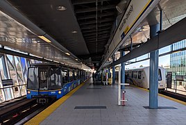
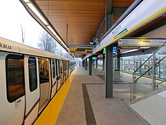
 Platform
 -
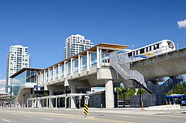
 Exterior
 -
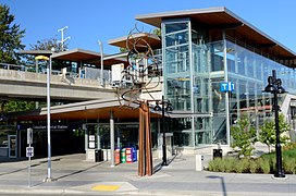
 Entrance


Burrard[edit]
-
 Platform
 -
 Concourse
 -
 Entrance


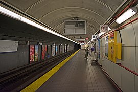
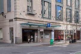
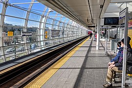
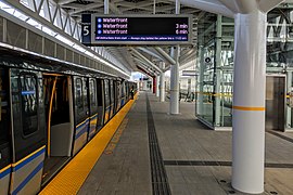
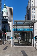
Granville[edit]
-
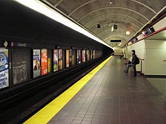 Platform
 -
 Platform
 -
 Platform
 -
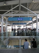
 Fare gates (Dunsmuir entrance)
 -
 Dunsmuir entrance


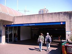
Stadium–Chinatown[edit]
-
 Stadium-Chinatown
 -
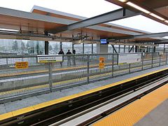
 Platform 3 (spare)
 -
 Entrance
 -
 Beatty Street entrance


.jpg)
Main Street–Science World[edit]
-
 Platform
 -
 Entrance


Commercial–Broadway[edit]
-
 Platform 5
 -
 Broadway, before merging into Commercial–Broadway


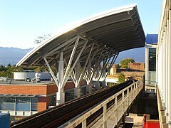
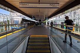
Nanaimo[edit]
-
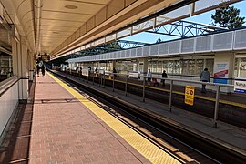 Platform
 -
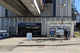 Entrance


29th Avenue[edit]
-
 Platform
 -
 Exterior
.jpg)
.jpg)
Joyce–Collingwood[edit]
-
 Platform
 -
 Exterior
.jpg)
.jpg)
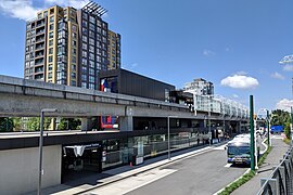
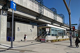
Patterson[edit]
-
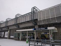 Exterior

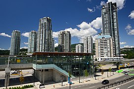
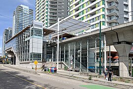
Metrotown[edit]
-
 Concourse
 -
 Entrance


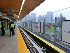
Royal Oak[edit]
-
 Platform
 -
 Entrance
 -
 Exterior


Edmonds[edit]
-
 Platform
 -
 From above
.jpg)

22nd Street[edit]
-
 Platform
 -
 Entrance
.jpg)

New Westminster[edit]
-
 Platform
 -
 Entrance
.jpg)

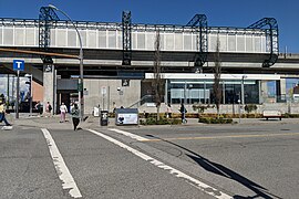
Columbia[edit]
-
 Platform
 -
 Flying junction
 -
 Clarkson Street entrance
 -
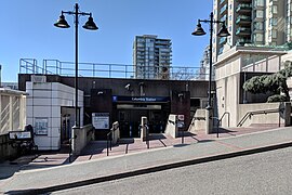 4th Street entrance


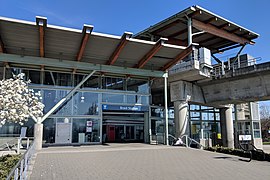
Sapperton[edit]
-
 Platform
 -
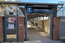 Entrance
 -
 Exterior
 -
 Exterior


Braid[edit]
-
 Platform
 -
 Entrance


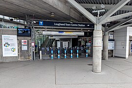
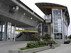
Lougheed Town Centre[edit]
-
 Platform 3
 -
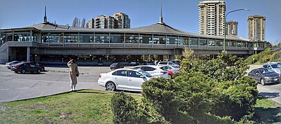 Exterior
 -
 Gatineau Place entrance
 -
 Austin Ave entrance


Production Way–University[edit]
-
 Platform
 -
 Bus loop entrance
 -
 Production Way entrance
 -
 Platform


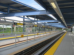
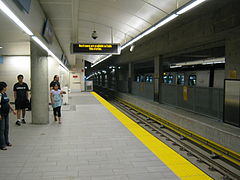
Scott Road[edit]
-
 Platform
 -
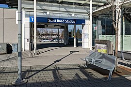 Entrance
 -
 Exterior


.jpg)
Gateway[edit]
-
 Platform
 -
 Exterior
.jpg)

Surrey Central[edit]
-
 Platform
 -
 Entrance
 -
 Commemorative plaque
 -
 The Sea Captain


.jpg)

King George[edit]
-
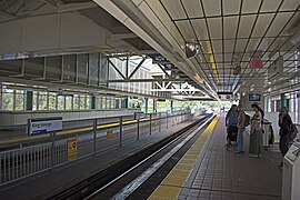 Platform
 -
 Entrance
 -
 Exterior

.jpg)
.jpg)
 Millennium Line[edit]
Main category: Millennium Line
The Millennium Line was opened in 2002 in recognition of the new millennium.
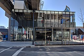
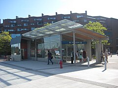
Great Northern Way–Emily Carr[edit]
-
 construction
.jpg)
VCC–Clark[edit]
-
 Platform
 -
 Exterior


Commercial–Broadway[edit]
-
 Platform
 -
 Commercial Drive, before merging into Commercial–Broadway


Renfrew[edit]
-
 Exterior

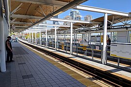
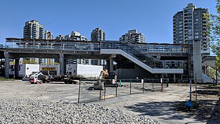
Rupert[edit]
-
 Platform
 -
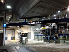 Entrance


Gilmore[edit]
-
 Platform
 -
 Exterior
 -
 Entrance


Brentwood Town Centre[edit]
-
 Brentwood Town Centre
 -
 Brentwood Town Centre


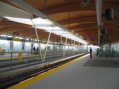
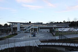
Holdom[edit]
-
 Platform
 -
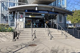 Entrance


Sperling–Burnaby Lake[edit]
-
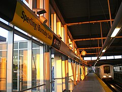 Sperling–Burnaby Lake
 -
 Exterior


Lake City Way[edit]
-
 Entrance

Production Way–University[edit]
Lougheed Town Centre[edit]
-
Platform 3
-
 Platform

Burquitlam[edit]
-
 Exterior

Moody Centre[edit]
-
 Platform

Inlet Centre[edit]
-
 Entrance

Coquitlam Central[edit]
-
 Platform
 -
 Exterior
 -
 Entrance
.jpg)


Lincoln[edit]
-
 Exterior
 -
 Entrance


Lafarge Lake–Douglas[edit]
-
 Platform
 -
 Exterior
 -
 Bike Parkade


 Canada Line[edit]
Main category: Canada Line
The Canada Line was built in time for the 2010 Winter Olympics. It was named as such to recognize the federal government's contributions in funding the line.
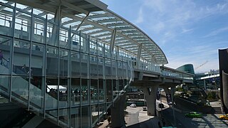
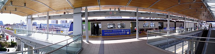
Waterfront[edit]
-
 Platform
 -
 Platform
 -
 Entrance
 -
 Entrance
.jpeg)

.jpg)
.jpeg)
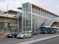
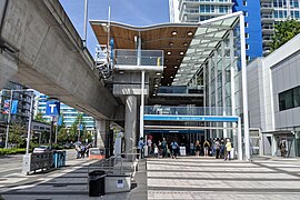
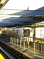
Vancouver City Centre[edit]
-
 Platform
 -
 Entrance
 -
 Concourse
 -
 Exterior


Yaletown–Roundhouse[edit]
-
 Platform
 -
 Exterior


Olympic Village[edit]
-
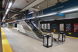 Platform
 -
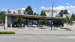 Exterior
 -
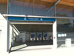 Entrance

.jpg)

Broadway–City Hall[edit]
-
 Platform
 -
 Concourse
 -
 Entrance

.jpg)
.jpg)
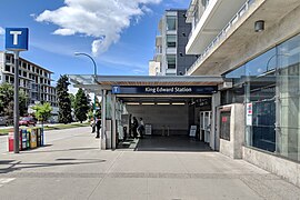
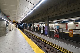
King Edward[edit]
-
 Platform
 -
 Entrance


Oakridge–41st Avenue[edit]
-
 Platform
 -
 Entrance


Langara–49th Avenue[edit]
-
 Platform
 -
 Entrance

.jpg)
Marine Drive[edit]
-
 Platform
 -
 Exterior


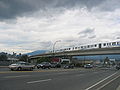
Bridgeport[edit]
-
 Platform exit
 -
 Exterior

.jpg)
Templeton[edit]
-
 Exterior

Sea Island Centre[edit]
-
 Exterior
 -
 Platform


YVR–Airport[edit]
-
 Platform
 -
 Platform
 -
 Concourse
 -
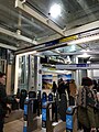
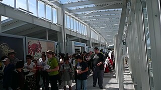 Concourse, crowded
 -
 Exterior
 -
 Entrance

.jpg)


Aberdeen[edit]
-
 Platform
 -
 Exterior

.jpg)
Lansdowne[edit]
-
 Platform

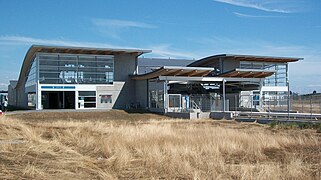
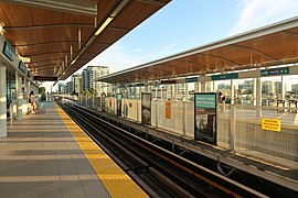
Richmond–Brighouse[edit]
-
 Platform
 -
 Platform
 -
 Exterior
.jpg)


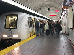
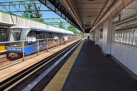
Trains[edit]
Main category: Vancouver SkyTrain rolling stock
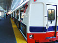
The SkyTrain rolling stock consists of Innovia Metro trains on the Expo and Millennium lines along with the Rotem EMU trains being used on the Canada Line.
ICTS Mark I[edit]
Main category: Vancouver SkyTrain Mk I
-
 Interior
 -
 Exterior
 -
 Exterior
 -
 Exterior


ART Mark II[edit]
Main category: Vancouver SkyTrain Mk II
-
 Exterior
 -
 Exterior
 -
 Exterior
 -
 Exterior
 -
 Exterior
 -
 Exterior
 -
 Exterior
 -
 Exterior
 -
 Exterior
 -
 Interior
 -
 Interior


.jpg)
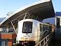
Innovia Metro Mark III[edit]
Main category: Vancouver SkyTrain Mk III
-
 Exterior
 -
 Interior


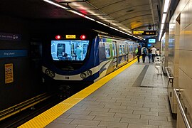
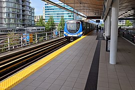
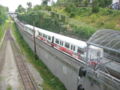
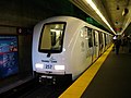
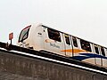
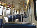
Rotem EMU[edit]
Main category: Hyundai Rotem EMU
-
 Exterior
 -
 Interior
 -
 Interior
 -
 Parked


Route maps[edit]
-
 System map pre-2009
 -
 System map pre-2006
 -
 System map, for 2009
 -
 Evergreen Line extension proposal
 -
 Transit map as of 2021
 -
 Detailed track diagram
 -
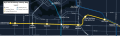 Broadway Subway extension


History[edit]
1980s[edit]
-
 The SkyTrain (background) was introduced in 1986 at Expo 86. Pictured here was the SteamExpo 86 exhibit
 -
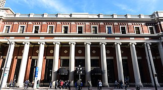
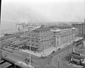 Built in 1914, Waterfront station was the western terminus of the Canadian Pacific Railway. In 1986, the station became the terminus of the Expo Line (Pictured in 1923)


2000s[edit]
-
 Construction of the Millennium Line (Commercial Drive Station, 2001)
 -
The first generation Mark II train was introduced in 2001 (Pictured in 2004)
-
 Stadium–Chinatown station entrance in 2006.
 -
 A closeup of the Mark I train (2008)
 -
 Broadway station (2009)
 -
 In anticipation of the 2010 Winter Olympics, the Canada Line was built in the late 2000s
 -
 Parts of the Canada Line were constructed as bored tunnels.
 -
 The Canada Line was opened in 2009 (Pictured in 2008)


2010s[edit]
-
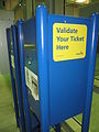 In 2011, fare gates have not been installed, and tickets had to be validated manually.
 -
 The mid-2010s saw the construction of the Evergreen Extension of the Millennium Line to Lafarge Lake–Douglas (2014)
 -
 Compass fare gates under construction (Gilmore Station, 2012)
 -
 Fare gates were fully installed in 2014, but stayed open until 2016 (Commercial–Broadway, 2013)
 -
 Route info map announcing changes for Expo and Millennium lines on October 22, 2016. It also states that Evergreen extension will be in service late 2016.

.jpg)


2020s[edit]
-
 In the early 2020s, construction began on the Broadway Subway extension of the Millennium Line to Arbutus. (2022)
.jpg)
Miscellaneous[edit]
Infrastructure[edit]
-
 SkyTrain pillars along Lougheed Highway, near Production Way–University
 -
 The Expo Line tracks from Waterfront to Stadium–Chinatown are in the Dunsmuir tunnel
 -
 Edmonds Yard and Control Centre on the Expo Line


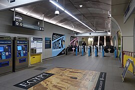
Compass[edit]
Main category: Compass Card (TransLink)
-
 A ticket vending machine hall
 -
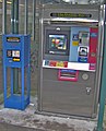 Ticket Vending Machine (2009)
 -
 Ticket Vending Machine (2015)
 -
 A Compass Card reader
 -
 Compass Fare Gates
 -
 Adult Compass Card
 -
 Concession Compass Card


Signage[edit]
-
 Exterior signage helps people locate the station
 -
 Train Platform Information Display
 -
 A sign pointing to Granville Station downtown


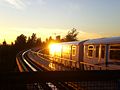
Bridges[edit]
-
 Mark I train crossing the SkyBridge at sunset
 -
 View of the tracks on the SkyBridge
 -
 Canada Line train crossing the Fraser River

.jpg)
