Jardin des Tuileries
Jump to navigation
Jump to search
| Object location | | View all coordinates using: OpenStreetMap |
|---|
Map of the Jardin des Tuileries[edit]

Views[edit]
-
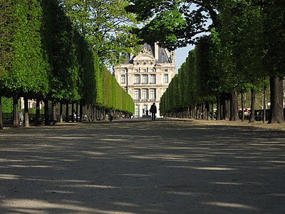
 Grande allée towards Place de la Concorde
 -

-
-

-

-

-
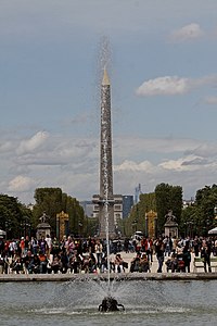 Fountain of the Octagonal basin
 -

-
-

-
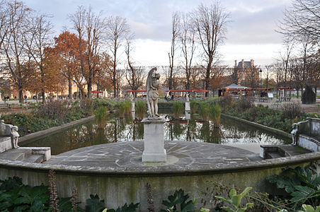
 Fountain of the large round bassin
 -

-
 Small south round basin
towards the Terrasse du Bord-de-l'Eau -
 The three round bassins towards the Musée d'Orsay and the Montparnasse tower
 -
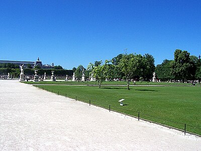 Lawns in Paris : please stay off this one
 -
 Available chairs in the Jardin des Tuileries
 -
 Enjoy the view towards the Eiffel Tower


Sculptures[edit]
Please see commons page Sculptures in the Jardin des Tuileries
Surroundings of the Jardin des Tuileries[edit]
-

-
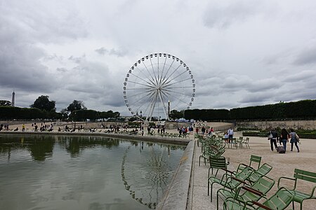 Roue de Paris
seen from the Bassin Octogonal in 2016 -
 Avenue du Général-Lemonnier
with tunnel -
 Port des Tuileries and Seine river from Pont de la Concorde in June 2016.


.jpg)
Jardin des Tuileries in art[edit]
Main category: Jardin des Tuileries in art
-
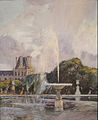
 Sunday 1831, Illustration
by François Courboin 1898 -
 Une famille anglaise aux Tuileries with playing children and little ships,
by caricaturist Charles Vernier (1860) -

-

-
-


_-_The_Tuileries_Gardens,_Paris_(1895).jpg)

pictures at an exhibition No. 3
"Tuileries", 1 min
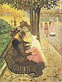
children playing in a park (1874)
Historical views of the Jardin des Tuileries[edit]

and Pont de la Concorde in the right of this the idealized litograph (1771)

on Turgot map 1739 with old houses for citizens → → →
↑

the former garden area (1755)
Other green spaces in Paris[edit]
