File:Washington tribal territories map-fr.svg
Jump to navigation
Jump to search

Size of this PNG preview of this SVG file: 800 × 524 pixels. Other resolutions: 320 × 210 pixels | 640 × 419 pixels | 1,024 × 670 pixels | 1,280 × 838 pixels | 2,560 × 1,676 pixels | 1,031 × 675 pixels.
Original file (SVG file, nominally 1,031 × 675 pixels, file size: 6.3 MB)
Captions
Captions
Add a one-line explanation of what this file represents
Summary[edit]
| Description |
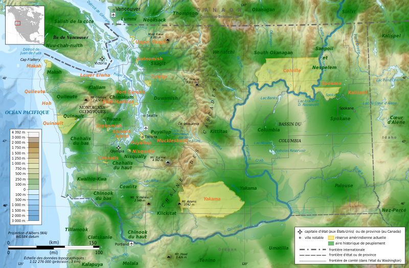
Français : Carte des réserves & territoires historiques amérindiens de l'état de Washington. English: Map showing historical tribal territories in Washington State. |
| Date | |
| Source |
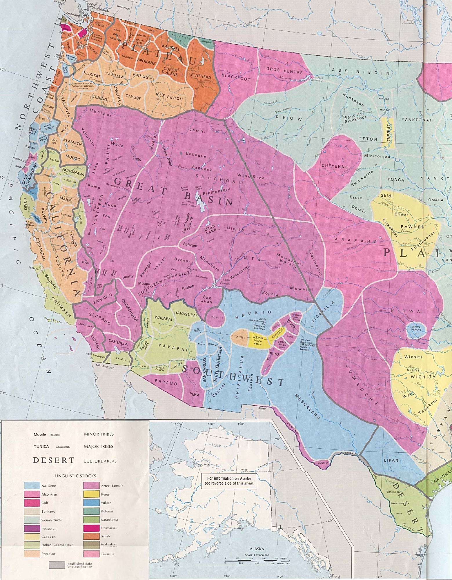
Own work based on: Washington areas map-fr.svg, Duwamish.png, Chehalis.png, Cowlitz.png and Chinook.png
|
| Author | Bourrichon |
Licensing[edit]
I, the copyright holder of this work, hereby publish it under the following licenses:

|
Permission is granted to copy, distribute and/or modify this document under the terms of the GNU Free Documentation License, Version 1.2 or any later version published by the Free Software Foundation; with no Invariant Sections, no Front-Cover Texts, and no Back-Cover Texts. A copy of the license is included in the section entitled GNU Free Documentation License. |
This file is licensed under the Creative Commons Attribution-Share Alike 3.0 Unported, 2.5 Generic, 2.0 Generic and 1.0 Generic license.
- You are free:
- to share – to copy, distribute and transmit the work
- to remix – to adapt the work
- Under the following conditions:
- attribution – You must give appropriate credit, provide a link to the license, and indicate if changes were made. You may do so in any reasonable manner, but not in any way that suggests the licensor endorses you or your use.
- share alike – If you remix, transform, or build upon the material, you must distribute your contributions under the same or compatible license as the original.
You may select the license of your choice.
File history
Click on a date/time to view the file as it appeared at that time.
| Date/Time | Thumbnail | Dimensions | User | Comment | |
|---|---|---|---|---|---|
| current | 17:41, 5 April 2010 | | 1,031 × 675 (6.3 MB) | Bourrichon (talk | contribs) | divers |
| 23:01, 3 April 2010 |  | 1,031 × 675 (6.3 MB) | Bourrichon (talk | contribs) | + other tribes | |
| 23:15, 27 March 2010 |  | 1,031 × 675 (7.04 MB) | Bourrichon (talk | contribs) | erreur de fichier | |
| 23:13, 27 March 2010 |  | 401 × 288 (3.35 MB) | Bourrichon (talk | contribs) | {{Information |Description={{fr|Carte des réserves & territoires historiques amérindiens de l'état de Washington.}}{{en|Map showing historical tribal territories in Washington State.}} |Source={{own}} from File:Washington areas map-fr.svg and : *[ |
You cannot overwrite this file.
File usage on Commons
The following 10 pages use this file:
- File:Washington administrative blank map.png
- File:Washington administrative map-fr.svg
- File:Washington areas Columbia map-fr.svg
- File:Washington areas map-fr.svg
- File:Washington municipal corporation topographic map-fr.svg
- File:Washington topographic blank map-2.png
- File:Washington topographic blank map.png
- File:Washington topographic map-fr.png
- File:Washington topographic map-fr.svg
- Template:Other versions/Washington map
File usage on other wikis
The following other wikis use this file:
- Usage on de.wikipedia.org
- Usage on en.wikipedia.org
- Usage on fr.wikipedia.org
- Usage on it.wikipedia.org
- Usage on ru.wikipedia.org