File:Walliser Alpen.png
Jump to navigation
Jump to search

Size of this preview: 800 × 575 pixels. Other resolutions: 320 × 230 pixels | 640 × 460 pixels | 1,024 × 736 pixels | 1,280 × 920 pixels | 2,412 × 1,733 pixels.
Original file (2,412 × 1,733 pixels, file size: 2.28 MB, MIME type: image/png)
Captions
Captions
Add a one-line explanation of what this file represents
Summary[edit]
| Description |
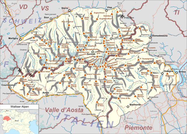
Deutsch: Lagekarte der Walliser Alpen. |
|||||||||
| Date | ||||||||||
| Source |
Own work Map was created using:
|
|||||||||
| Creator | ||||||||||
| Permission (Reusing this file) |
Map data (c) OpenStreetMap (and) contributors, CC-BY-SA | |||||||||
| Geotemporal data | ||||||||||
| Bounding box |
|
|||||||||
| Georeferencing | ||||||||||
Licensing[edit]
I, the copyright holder of this work, hereby publish it under the following license:
This file is licensed under the Creative Commons Attribution 3.0 Unported license.
- You are free:
- to share – to copy, distribute and transmit the work
- to remix – to adapt the work
- Under the following conditions:
- attribution – You must give appropriate credit, provide a link to the license, and indicate if changes were made. You may do so in any reasonable manner, but not in any way that suggests the licensor endorses you or your use.
| This work is licensed under the Open Database License (summary). |
File history
Click on a date/time to view the file as it appeared at that time.
| Date/Time | Thumbnail | Dimensions | User | Comment | |
|---|---|---|---|---|---|
| current | 18:09, 3 April 2022 | | 2,412 × 1,733 (2.28 MB) | Zacharie Grossen (talk | contribs) | fix weird location map (both countries should be in yellow, not just Italy) |
| 19:31, 12 October 2016 |  | 2,412 × 1,733 (2.32 MB) | Pechristener (talk | contribs) | location map added | |
| 18:49, 12 October 2016 |  | 2,412 × 1,733 (2.27 MB) | Pechristener (talk | contribs) | {{Map |Description={{de|1=Lagekarte des de:Walliser Alpen}} |Source ={{own}} Map was created using: *[http://www.openstreetmap.org/ Open Street Map] <!-- *Switzerland location map.svg for location... |
You cannot overwrite this file.
File usage on Commons
The following 5 pages use this file:
File usage on other wikis
The following other wikis use this file:
- Usage on de.wikipedia.org
- Matterhorn
- Dufourspitze
- Monte Rosa
- Walliser Alpen
- Mominggletscher
- Ober Gabelhorn
- Strahlhorn
- Lac de Moiry
- Signalkuppe
- Bella Tola
- Capanna Regina Margherita
- Grand Cornier
- Seetalhorn
- Grüensee (Zermatt)
- Almagellerhütte
- Mattertal
- Capanna Gnifetti
- Rifugio Quintino Sella (Felikjoch)
- Rifugio Prarayer
- Rifugio Nacamuli al Col Collon
- Rifugio Aosta
- Rifugio Elena
- Rifugio Perucca-Vuillermoz
- Rifugio Barmasse
- Rifugio Duca degli Abruzzi all’Oriondé
- Rifugio Guide della Val d’Ayas
- Rifugio Guide del Cervino
- Rifugio Franco Chiarella all’Amianthe
- Rifugio Giorgio Bertone
- Rifugio Oratorio di Cunéy
- Cabane du Mountet
- Fluchthorn (Walliser Alpen)
- Corne de Sorebois
- Turtmannhütte
- Lacs de Fenêtre
- Fenêtre de Durand
- Weisshorngruppe
- Vorlage:Positionskarte Walliser Alpen
- Liste der Gebirgsgruppen in den Westalpen
- Cabane Arpitettaz
- Refuge des Bouquetins
- Bivouac de l’Aiguillette à la Singla
- Bivouac au Col de la Dent Blanche
- Cresta-Biwak
- Bivouac du Dolent-La Maye
- Mischabeljochbiwak
- Schalijochbiwak
- Bivacco Biagio Musso
- Col Nord de Menouve
- Benutzer Diskussion:Pechristener/Alpenkarten
View more global usage of this file.