File:Wallis relief location map.png
Jump to navigation
Jump to search
Size of this preview: 531 × 600 pixels. Other resolutions: 212 × 240 pixels | 425 × 480 pixels | 680 × 768 pixels | 1,082 × 1,222 pixels.
Original file (1,082 × 1,222 pixels, file size: 208 KB, MIME type: image/png)
Captions
Captions
Add a one-line explanation of what this file represents
Summary[edit]
| Camera location | | View this and other nearby images on: OpenStreetMap |
|---|
| Description |
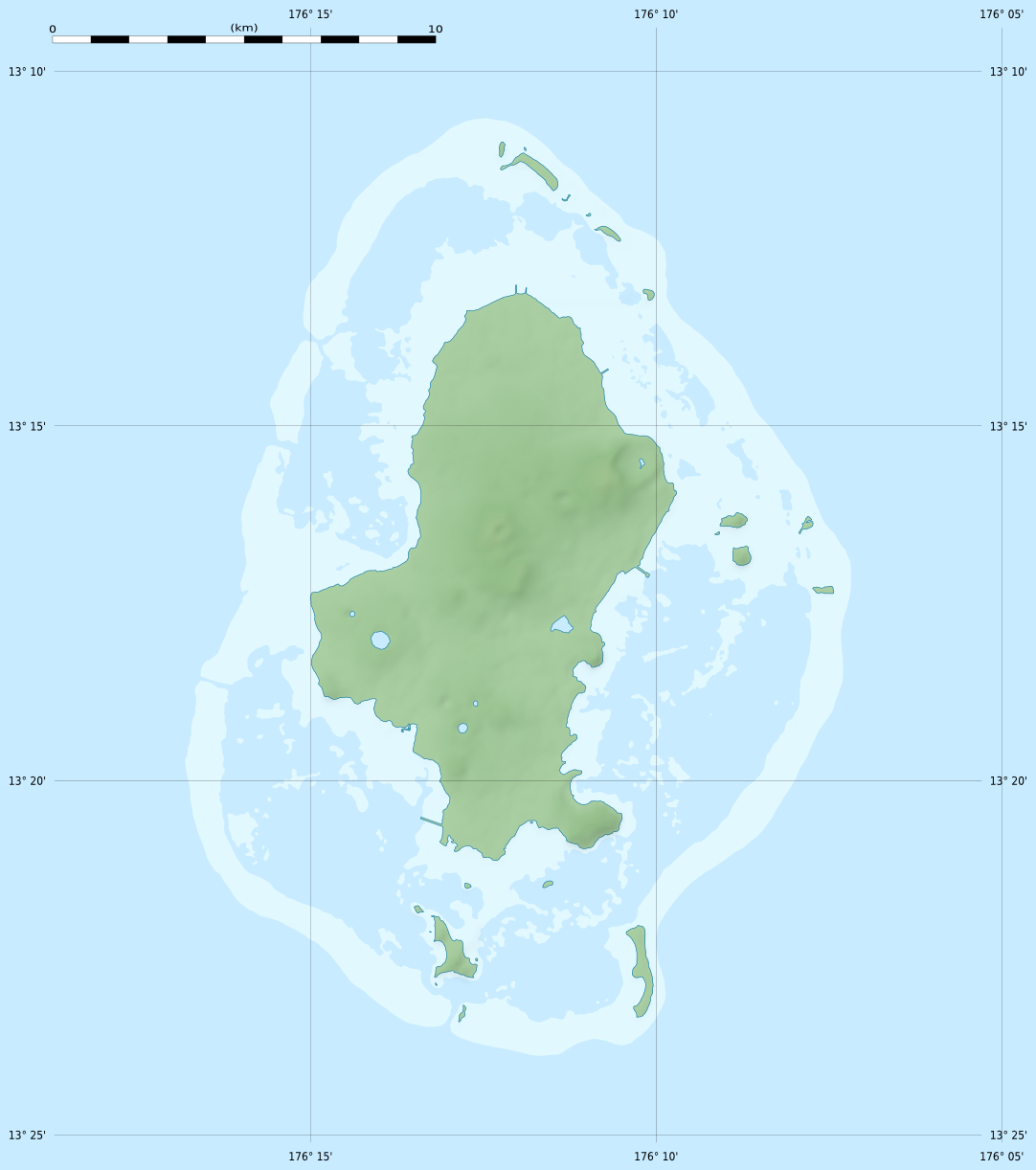
English: Blank physical map of Wallis Island, part of the French overseas collectivity of Wallis and Futuna, for geo-location purpose.
Français : Carte physique vierge de Wallis de la Collectivité d'outre-mer de Wallis-et-Futuna, destinée à la géolocalisation. Scale: 1:372,000 (precision: 93 m)
Geographic limits of the map:
|
||
| Date | |||
| Source |
Own work
|
||
| Author | Eric Gaba (Sting - fr:Sting) | ||
| Permission (Reusing this file) |
|
||
| Other versions |
See also:
|


Licensing[edit]
Eric Gaba, Wikimedia Commons user Sting, the copyright holder of this work, hereby publishes it under the following license:
This file is licensed under the Creative Commons Attribution-Share Alike 3.0 Unported license.
Attribution: Eric Gaba, Wikimedia Commons user Sting
- You are free:
- to share – to copy, distribute and transmit the work
- to remix – to adapt the work
- Under the following conditions:
- attribution – You must give appropriate credit, provide a link to the license, and indicate if changes were made. You may do so in any reasonable manner, but not in any way that suggests the licensor endorses you or your use.
- share alike – If you remix, transform, or build upon the material, you must distribute your contributions under the same or compatible license as the original.
File history
Click on a date/time to view the file as it appeared at that time.
| Date/Time | Thumbnail | Dimensions | User | Comment | |
|---|---|---|---|---|---|
| current | 21:19, 18 July 2010 | | 1,082 × 1,222 (208 KB) | Sting (talk | contribs) | Color profile |
| 02:25, 11 July 2010 |  | 1,082 × 1,222 (210 KB) | Sting (talk | contribs) | Simplifying reef color scheme | |
| 22:06, 10 July 2010 |  | 1,082 × 1,222 (231 KB) | Sting (talk | contribs) | == {{int:filedesc}} == {{Location|13|17|15|S|176|12|00|W|scale:100000}} <br/> {{Information |Description={{en|Blank physical map of Wallis Island, part of the French overseas collectivity of [[:en |
You cannot overwrite this file.
File usage on Commons
The following 5 pages use this file:
File usage on other wikis
The following other wikis use this file:
- Usage on ar.wikipedia.org
- Usage on be-tarask.wikipedia.org
- Usage on bg.wikipedia.org
- Usage on ceb.wikipedia.org
- Usage on de.wikipedia.org
- Usage on el.wikipedia.org
- Usage on en.wikipedia.org
- Usage on eo.wikipedia.org
- Usage on fa.wikipedia.org
- Usage on fr.wikipedia.org
- Mata Utu
- Hahake
- Nukuloa
- Lac Lalolalo
- Projet:Cartographie/Cartes standards/France
- Modèle:Géolocalisation/Wallis
- Modèle:Géolocalisation/Wallis/Documentation
- Modèle:Géolocdual/Wallis
- Wikipédia:Atelier graphique/Cartes/Archives/juillet 2010
- Nukuteatea
- Nukutapu
- Nukuhifala
- Nukufotu
- Nukuatea
- Luaniva
- Fugalei
- Fenuafo'ou
- Vailala
- Hihifo
- Mu'a (Wallis)
- Aka'aka
- Ahoa
- Mala'efo'ou
- Liku (Wallis-et-Futuna)
- Falaleu
- Ha'afuasia
- Alele
- Vaitupu (Wallis-et-Futuna)
- Mala'e (Wallis)
- Tufu'one
- Halalo
- Utufua
- Vaimalau
- Lavegahau
- Te'esi
View more global usage of this file.