File:Wales North Wales locator map.svg
Jump to navigation
Jump to search

Size of this PNG preview of this SVG file: 501 × 599 pixels. Other resolutions: 201 × 240 pixels | 401 × 480 pixels | 642 × 768 pixels | 857 × 1,024 pixels | 1,713 × 2,048 pixels | 512 × 612 pixels.
Original file (SVG file, nominally 512 × 612 pixels, file size: 206 KB)
Captions
Captions
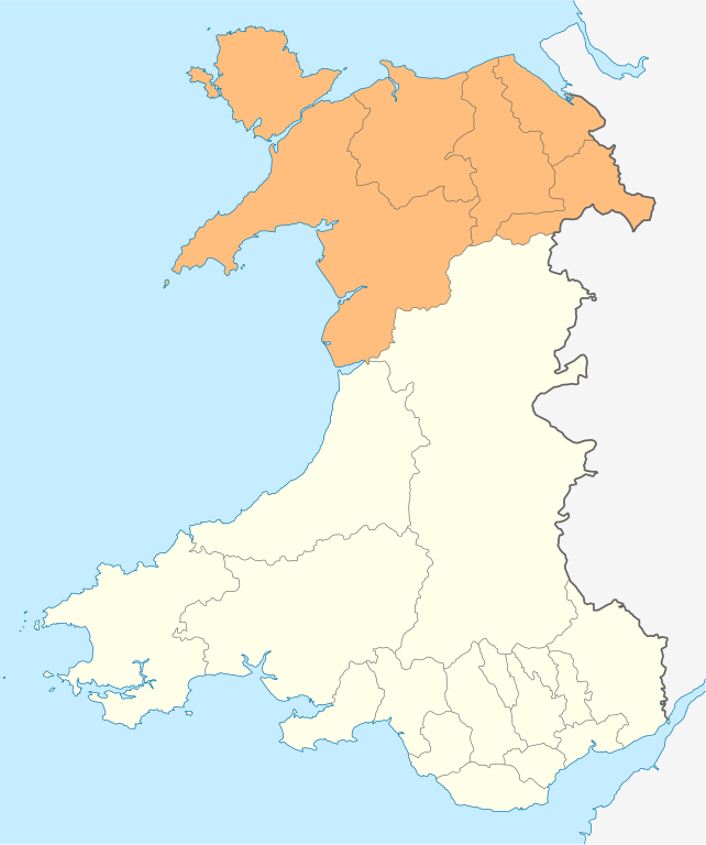
Map of North Wales
Summary[edit]
| Description |
English: Map of the 6 local authorities, coloured in orange, which make up the North Wales Economic Ambition Board, and the most common definition of North Wales by principal areas. |
| Date | |
| Source |
Own work This vector image includes elements that have been taken or adapted from this file: |
| Author | Dank · Jay |
Licensing[edit]
I, the copyright holder of this work, hereby publish it under the following license:
This file is licensed under the Creative Commons Attribution-Share Alike 4.0 International license.
- You are free:
- to share – to copy, distribute and transmit the work
- to remix – to adapt the work
- Under the following conditions:
- attribution – You must give appropriate credit, provide a link to the license, and indicate if changes were made. You may do so in any reasonable manner, but not in any way that suggests the licensor endorses you or your use.
- share alike – If you remix, transform, or build upon the material, you must distribute your contributions under the same or compatible license as the original.
File history
Click on a date/time to view the file as it appeared at that time.
| Date/Time | Thumbnail | Dimensions | User | Comment | |
|---|---|---|---|---|---|
| current | 19:25, 4 December 2021 | | 512 × 612 (206 KB) | DankJae (talk | contribs) | Uploaded own work with UploadWizard |
You cannot overwrite this file.
File usage on Commons
The following page uses this file:
File usage on other wikis
The following other wikis use this file:
- Usage on en.wikipedia.org
- Usage on zh.wikipedia.org