File:View north, Wilkins Farm complex - Wilkins Farm, South side of Dove Hollow Road, 6000 feet east of State Route 259, Lost City, Hardy County, WV HABS WVA,16-LORIV.V,1-1.tif
Jump to navigation
Jump to search

Size of this JPG preview of this TIF file: 743 × 599 pixels. Other resolutions: 298 × 240 pixels | 595 × 480 pixels | 952 × 768 pixels | 1,270 × 1,024 pixels | 2,540 × 2,048 pixels | 5,560 × 4,484 pixels.
Original file (5,560 × 4,484 pixels, file size: 23.78 MB, MIME type: image/tiff)
Captions
Captions
Add a one-line explanation of what this file represents
Summary[edit]
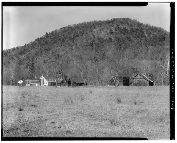
| View north, Wilkins Farm complex - Wilkins Farm, South side of Dove Hollow Road, 6000 feet east of State Route 259, Lost City, Hardy County, WV | ||||
|---|---|---|---|---|
| Title |
View north, Wilkins Farm complex - Wilkins Farm, South side of Dove Hollow Road, 6000 feet east of State Route 259, Lost City, Hardy County, WV |
|||
| Depicted place | West Virginia; Hardy County; Lost City | |||
| Date | Documentation compiled after 1933 | |||
| Dimensions | 4 x 5 in. | |||
| Current location |
Library of Congress Prints and Photographs Division Washington, D.C. 20540 USA http://hdl.loc.gov/loc.pnp/pp.print |
|||
| Accession number |
HABS WVA,16-LORIV.V,1-1 |
|||
| Credit line |
|
|||
| Notes |
|
|||
| Source | https://www.loc.gov/pictures/item/wv0343.photos.372790p | |||
| Permission (Reusing this file) |
|
|||

File history
Click on a date/time to view the file as it appeared at that time.
| Date/Time | Thumbnail | Dimensions | User | Comment | |
|---|---|---|---|---|---|
| current | 09:09, 5 August 2014 |  | 5,560 × 4,484 (23.78 MB) | Fæ (talk | contribs) | GWToolset: Creating mediafile for Fæ. HABS 2014-08-04 (3601:3800) Penultimate Tranche! |
You cannot overwrite this file.
File usage on Commons
The following page uses this file: