File:VIEW LOOKING SOUTHWEST, GENERAL ELEVATION - Fort Keogh Bridge, Spanning Yellowstone River, Miles City, Custer County, MT HAER MONT,9-MILCI.V,1-18 (CT).tif
Jump to navigation
Jump to search
Size of this JPG preview of this TIF file: 751 × 600 pixels. Other resolutions: 301 × 240 pixels | 601 × 480 pixels | 962 × 768 pixels | 1,280 × 1,022 pixels | 2,560 × 2,044 pixels | 4,637 × 3,702 pixels.
Original file (4,637 × 3,702 pixels, file size: 49.12 MB, MIME type: image/tiff)
Captions
Captions
Add a one-line explanation of what this file represents
Summary[edit]
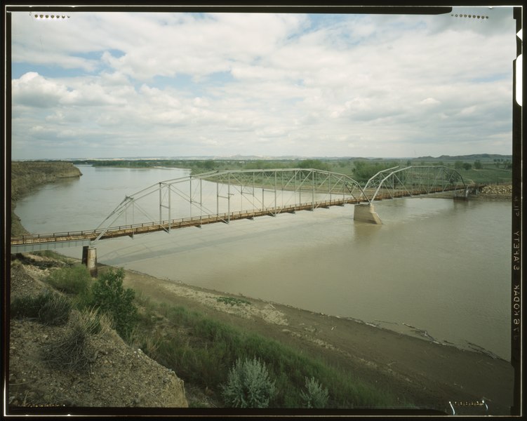
| VIEW LOOKING SOUTHWEST, GENERAL ELEVATION - Fort Keogh Bridge, Spanning Yellowstone River, Miles City, Custer County, MT | ||||
|---|---|---|---|---|
| Photographer |
Related names:
|
|||
| Title |
VIEW LOOKING SOUTHWEST, GENERAL ELEVATION - Fort Keogh Bridge, Spanning Yellowstone River, Miles City, Custer County, MT |
|||
| Depicted place | Montana; Custer County; Miles City | |||
| Date | 1980 | |||
| Dimensions | 4 x 5 in. | |||
| Current location |
Library of Congress Prints and Photographs Division Washington, D.C. 20540 USA http://hdl.loc.gov/loc.pnp/pp.print |
|||
| Accession number |
HAER MONT,9-MILCI.V,1-18 (CT) |
|||
| Credit line |
|
|||
| Notes |
|
|||
| Source | http://lcweb2.loc.gov/master/pnp/habshaer/mt/mt0000/mt0076/color/570950cu.tif | |||
| Permission (Reusing this file) |
|
|||

File history
Click on a date/time to view the file as it appeared at that time.
| Date/Time | Thumbnail | Dimensions | User | Comment | |
|---|---|---|---|---|---|
| current | 18:08, 28 July 2014 |  | 4,637 × 3,702 (49.12 MB) | Fæ (talk | contribs) | GWToolset: Creating mediafile for Fæ. HABS 24 July 2014 (2001:2300) |
You cannot overwrite this file.
File usage on Commons
The following page uses this file: