File:United Kingdom of the Netherlands.png
Jump to navigation
Jump to search
No higher resolution available.
United_Kingdom_of_the_Netherlands.png (800 × 550 pixels, file size: 81 KB, MIME type: image/png)
Captions
Captions
Add a one-line explanation of what this file represents
Summary[edit]
| Description |
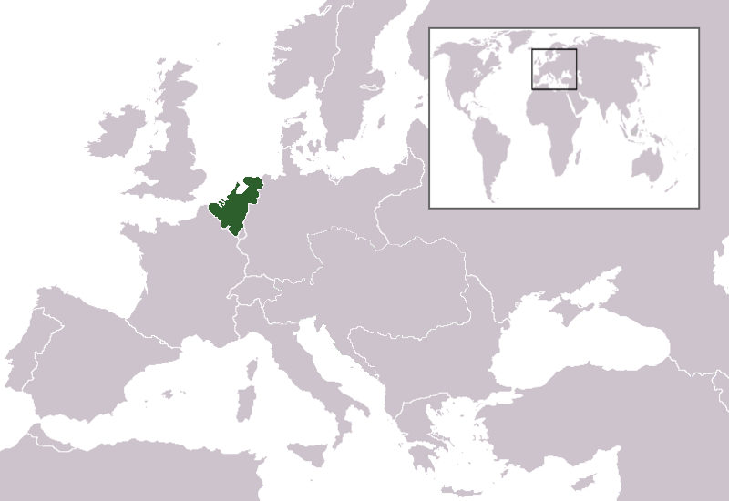
English: Map of the United Kingdom of the Netherlands, between 1815 and 1839. Created by en:User:Rysz from en:Image:Austrian_empire.png |
| Date | 6 November 2007 (original upload date) |
| Source | Transferred from en.wikipedia to Commons by Broadbeer using CommonsHelper. |
| Author | The original uploader was Rysz at English Wikipedia. |
Licensing[edit]

|
Permission is granted to copy, distribute and/or modify this document under the terms of the GNU Free Documentation License, Version 1.2 or any later version published by the Free Software Foundation; with no Invariant Sections, no Front-Cover Texts, and no Back-Cover Texts. A copy of the license is included in the section entitled GNU Free Documentation License. |
| This file is licensed under the Creative Commons Attribution-Share Alike 3.0 Unported license. | ||
| ||
| This licensing tag was added to this file as part of the GFDL licensing update. |
Original upload log[edit]
The original description page was here. All following user names refer to en.wikipedia.
- 2007-11-06 20:47 Rysz 800×550× (83395 bytes) Map of the United Kingdom of the Netherlands, between 1815 and 1839. Created by User:Rysz from Image:Austrian_empire.png
File history
Click on a date/time to view the file as it appeared at that time.
| Date/Time | Thumbnail | Dimensions | User | Comment | |
|---|---|---|---|---|---|
| current | 01:00, 13 November 2008 | | 800 × 550 (81 KB) | File Upload Bot (Magnus Manske) (talk | contribs) | {{BotMoveToCommons|en.wikipedia}} {{Information |Description={{en|Map of the United Kingdom of the Netherlands, between 1815 and 1839. Created by en:User:Rysz from en::Image:Austrian_empire.png}} |Source=Transferred from [http://en.wikipedia.or |
You cannot overwrite this file.
File usage on Commons
There are no pages that use this file.
File usage on other wikis
The following other wikis use this file:
- Usage on da.wikipedia.org