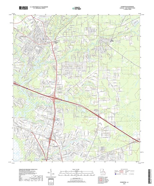
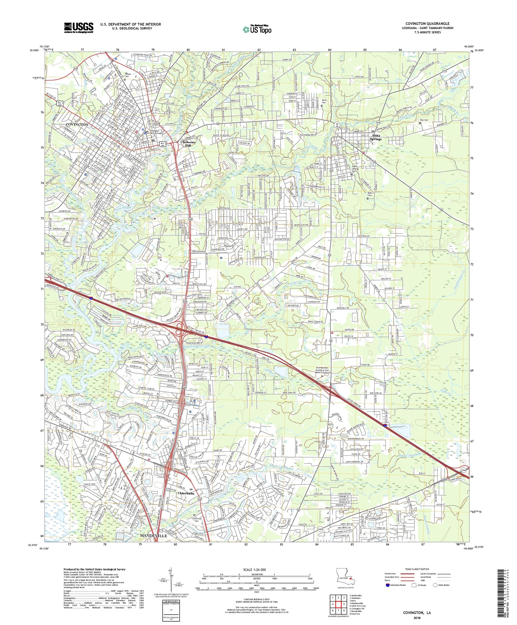
File:USGS Topo Map Covington, LA 2018.pdf
Jump to navigation
Jump to search

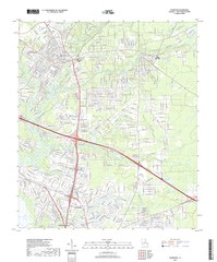
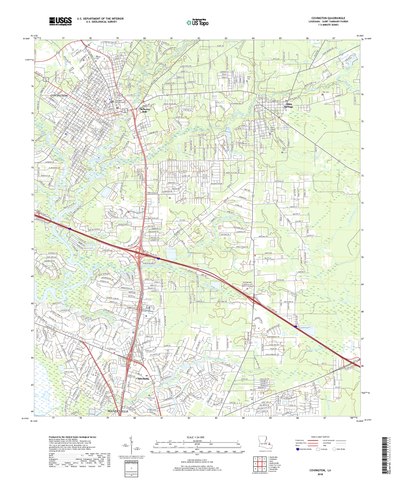
Size of this JPG preview of this PDF file: 496 × 599 pixels. Other resolutions: 199 × 240 pixels | 397 × 480 pixels | 635 × 768 pixels | 847 × 1,024 pixels | 1,695 × 2,048 pixels | 3,600 × 4,350 pixels.
Original file (3,600 × 4,350 pixels, file size: 52.99 MB, MIME type: application/pdf)
Captions
Captions
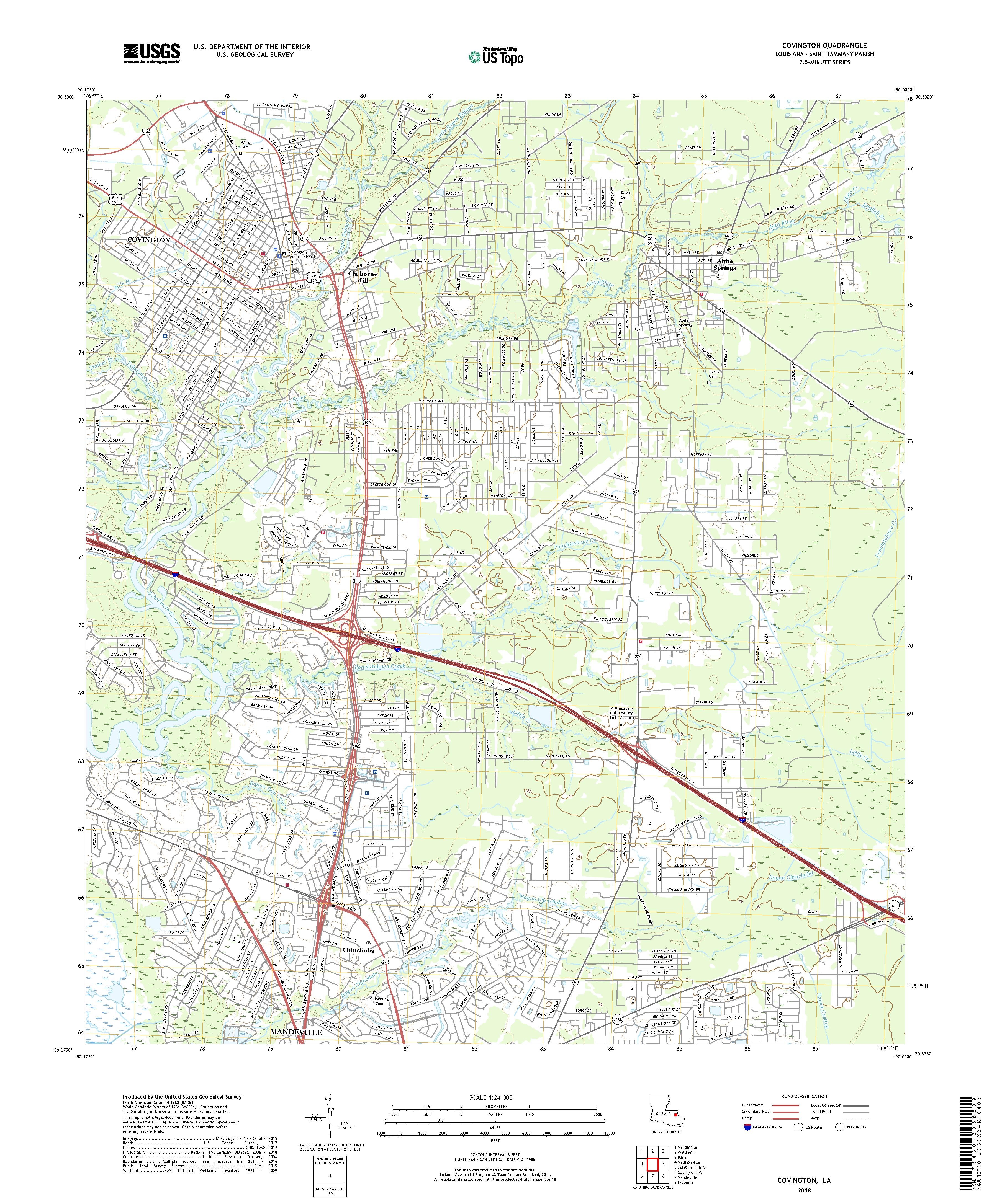
USGS US Topo 7.5-minute map for Covington, LA 2018
Summary[edit]
| Description |
English: U.S. Geological Survey, 20180212, USGS US Topo 7.5-minute map for Covington, LA 2018: USGS - National Geospatial Technical Operations Center (NGTOC). |
| Date | |
| Source | USGS map via https://www.sciencebase.gov/catalog/item/5a854132e4b00f54eb34fc78 |
| Author | US Geological Survey |
Licensing[edit]
This image is in the public domain in the United States because it only contains materials that originally came from the United States Geological Survey, an agency of the United States Department of the Interior. For more information, see the official USGS copyright policy.
|
File history
Click on a date/time to view the file as it appeared at that time.
| Date/Time | Thumbnail | Dimensions | User | Comment | |
|---|---|---|---|---|---|
| current | 17:46, 20 January 2022 |  | 3,600 × 4,350 (52.99 MB) | Infrogmation (talk | contribs) | Uploaded a work by US Geological Survey from USGS map via https://www.sciencebase.gov/catalog/item/5a854132e4b00f54eb34fc78 with UploadWizard |
You cannot overwrite this file.
File usage on Commons
There are no pages that use this file.