File:The kingdom of East Anglia (Early Saxon period) PL.svg
Jump to navigation
Jump to search

Size of this PNG preview of this SVG file: 598 × 600 pixels. Other resolutions: 239 × 240 pixels | 479 × 480 pixels | 766 × 768 pixels | 1,021 × 1,024 pixels | 2,042 × 2,048 pixels | 647 × 649 pixels.
Original file (SVG file, nominally 647 × 649 pixels, file size: 497 KB)
Captions
Captions
Add a one-line explanation of what this file represents
| Description |
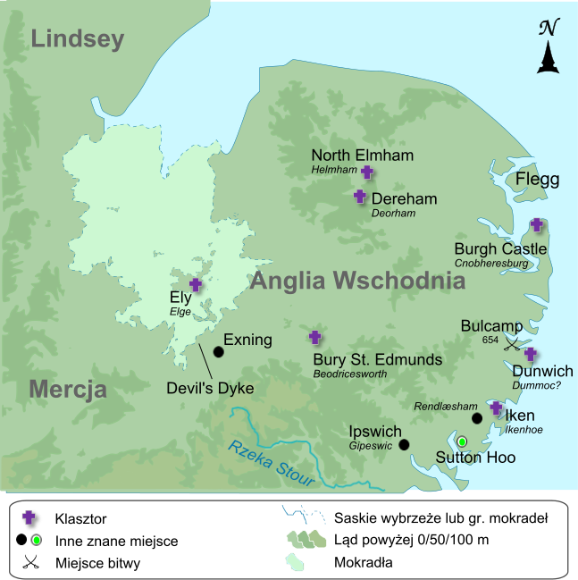
English: Own work, map compiled from a variety of sources: http://www.english-heritage.org.uk/publications/suffolk-rczas-national-mapping-programme-report/nmpfinal02-02-05.pdf (Suffolk coast prior to reclaimation) http://www.devilsdykeproject.org.uk (Devil's Dyke) http://www.earthtools.org (Flegg and the Great Estuary) http://www.antiquemaps.com/uk/mzoom/29159.htm (Fens, pre-drainage) File:EastAnglia.png (elevation above 50m and 100m) http://www.openstreetmap.org/ (coastline and settlements) |
| Date | (UTC) |
| Source | |
| Author |
|
.svg)
| This is a retouched picture, which means that it has been digitally altered from its original version. Modifications: Polish labels. The original can be viewed here: The kingdom of East Anglia (Early Saxon period).svg:
|
I, the copyright holder of this work, hereby publish it under the following license:
This file is licensed under the Creative Commons Attribution-Share Alike 1.0 Generic license.
- You are free:
- to share – to copy, distribute and transmit the work
- to remix – to adapt the work
- Under the following conditions:
- attribution – You must give appropriate credit, provide a link to the license, and indicate if changes were made. You may do so in any reasonable manner, but not in any way that suggests the licensor endorses you or your use.
- share alike – If you alter, transform, or build upon this work, you must distribute the resulting work under the same license as the original.
Original upload log[edit]
_PL.svg&action=edit§ion=1)
This image is a derivative work of the following images:
- File:The_kingdom_of_East_Anglia_(Early_Saxon_period).svg licensed with Cc-by-sa-1.0
- 2011-01-20T20:14:58Z Ælfgar 647x649 (240204 Bytes) {{Information |Description={{en|Own work, map compiled from a variety of sources: http://www.english-heritage.org.uk/publications/suffolk-rczas-national-mapping-programme-report/nmpfinal02-02-05.pdf (Suffolk coast prior to r
Uploaded with derivativeFX
File history
Click on a date/time to view the file as it appeared at that time.
| Date/Time | Thumbnail | Dimensions | User | Comment | |
|---|---|---|---|---|---|
| current | 18:03, 27 June 2012 | | 647 × 649 (497 KB) | Hel-hama (talk | contribs) | text improved to reflect true font style |
| 10:15, 4 June 2011 |  | 647 × 649 (236 KB) | Hoodinski (talk | contribs) | redundant layers erased | |
| 10:11, 4 June 2011 |  | 647 × 649 (233 KB) | Hoodinski (talk | contribs) | font corrected | |
| 10:05, 4 June 2011 |  | 647 × 649 (238 KB) | Hoodinski (talk | contribs) | {{Information |Description={{en|Own work, map compiled from a variety of sources: http://www.english-heritage.org.uk/publications/suffolk-rczas-national-mapping-programme-report/nmpfinal02-02-05.pdf (Suffolk coast prior to reclaimation) http://www.devils |
You cannot overwrite this file.
File usage on Commons
There are no pages that use this file.
File usage on other wikis
The following other wikis use this file:
_PL.svg&oldid=450553913)