File:Somaliland.png
Jump to navigation
Jump to search
Size of this preview: 800 × 504 pixels. Other resolutions: 320 × 202 pixels | 640 × 403 pixels | 1,024 × 645 pixels | 1,280 × 806 pixels | 1,815 × 1,143 pixels.
Original file (1,815 × 1,143 pixels, file size: 2.6 MB, MIME type: image/png)
Captions
Captions
Add a one-line explanation of what this file represents
Summary[edit]
| Description |
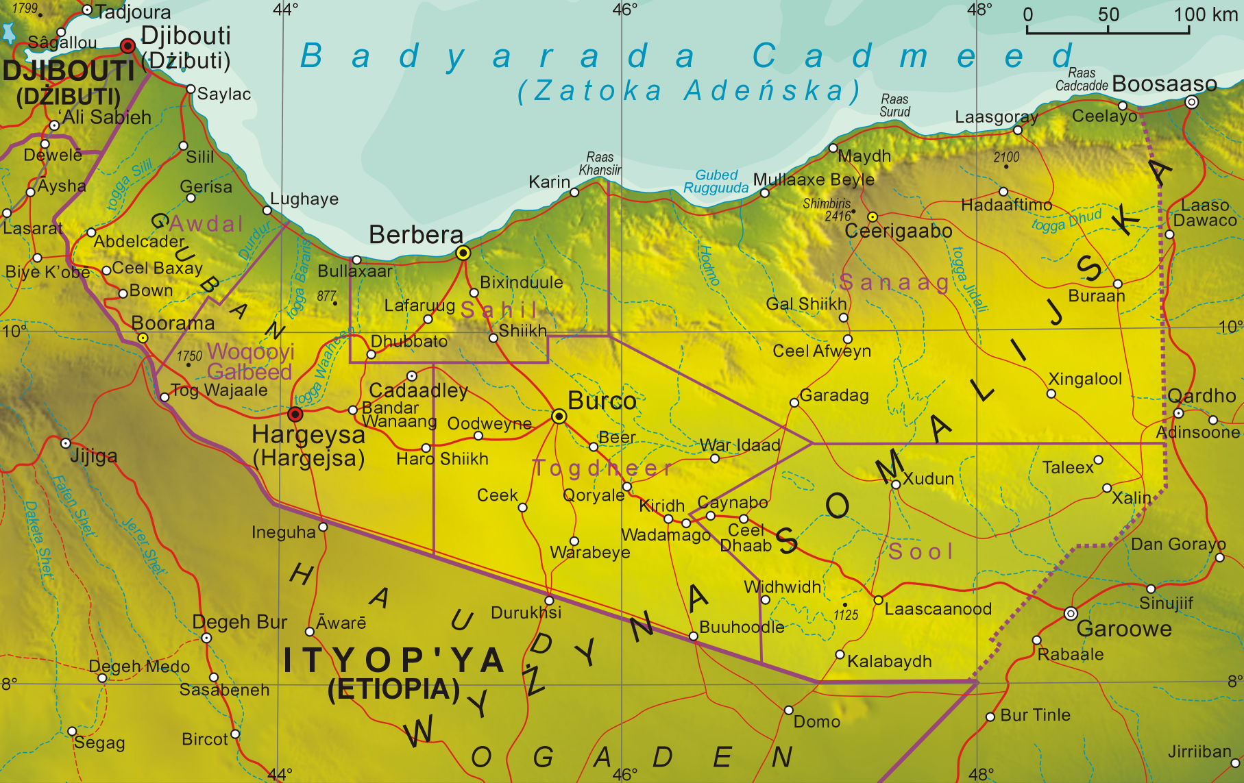
English: Map of Somaliland
Polski: Mapa Somalilandu |
| Date | 12.10.2008 |
| Source | Own work |
| Author | Aotearoa |
Licensing[edit]
I, the copyright holder of this work, hereby publish it under the following license:

|
Permission is granted to copy, distribute and/or modify this document under the terms of the GNU Free Documentation License, Version 1.2 or any later version published by the Free Software Foundation; with no Invariant Sections, no Front-Cover Texts, and no Back-Cover Texts. A copy of the license is included in the section entitled GNU Free Documentation License. |
| This file is licensed under the Creative Commons Attribution-Share Alike 3.0 Unported license. | ||
| ||
| This licensing tag was added to this file as part of the GFDL licensing update. |
File history
Click on a date/time to view the file as it appeared at that time.
| Date/Time | Thumbnail | Dimensions | User | Comment | |
|---|---|---|---|---|---|
| current | 17:57, 20 June 2020 | | 1,815 × 1,143 (2.6 MB) | Kzl55 (talk | contribs) | Reverted to version as of 08:20, 1 November 2008 (UTC) Irrelevant, map is about claimed territory. |
| 18:35, 16 June 2020 |  | 800 × 504 (724 KB) | Meelpringthusss (talk | contribs) | added disputed region | |
| 08:20, 1 November 2008 |  | 1,815 × 1,143 (2.6 MB) | Aotearoa (talk | contribs) | {{Information |Description= |Source= |Date= |Author= |Permission= |other_versions= }} | |
| 08:55, 12 October 2008 |  | 1,360 × 854 (1.65 MB) | Aotearoa (talk | contribs) | {{Information |Description={{en|1=Map of Somaliland}} {{pl|1=Mapa Somalilandu}} |Source=Praca własna osoby przesyłającej (own work by uploader) |Author=Aotearoa |Date=12.10.2008 |Permission= |other_versions= }} <!--{{ImageUpload|full |
You cannot overwrite this file.
File usage on Commons
There are no pages that use this file.
File usage on other wikis
The following other wikis use this file:
- Usage on en.wikipedia.org
- Usage on en.wikibooks.org
- Usage on os.wikipedia.org
- Usage on pl.wikipedia.org