File:Slovenia (no subdivisions) location map.svg
Jump to navigation
Jump to search

Size of this PNG preview of this SVG file: 800 × 592 pixels. Other resolutions: 320 × 237 pixels | 640 × 473 pixels | 1,024 × 757 pixels | 1,280 × 946 pixels | 2,560 × 1,893 pixels | 1,159 × 857 pixels.
Original file (SVG file, nominally 1,159 × 857 pixels, file size: 34 KB)
Captions
Captions
Add a one-line explanation of what this file represents
Summary[edit]
| Description |
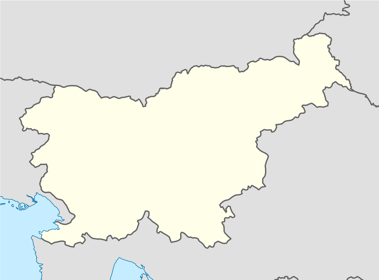
Deutsch: Positionskarte von Slowenien
Quadratische Plattkarte, N-S-Streckung 140 %. Geographische Begrenzung der Karte:
English: Location map of Slovenia
Equirectangular projection, N/S stretching 140 %. Geographic limits of the map:
|
| Date | |
| Source |
Own work using:
|
| Author | NordNordWest |
| Other versions |
|


_location_map.svg&action=edit§ion=1)

|
This map has been made or improved in the German Kartenwerkstatt (Map Lab). You can propose maps to improve as well.
|
Licensing[edit]
_location_map.svg&action=edit§ion=2)
I, the copyright holder of this work, hereby publish it under the following licenses:

|
Permission is granted to copy, distribute and/or modify this document under the terms of the GNU Free Documentation License, Version 1.2 or any later version published by the Free Software Foundation; with no Invariant Sections, no Front-Cover Texts, and no Back-Cover Texts. A copy of the license is included in the section entitled GNU Free Documentation License. |
This file is licensed under the Creative Commons Attribution-Share Alike 3.0 Unported license.
- You are free:
- to share – to copy, distribute and transmit the work
- to remix – to adapt the work
- Under the following conditions:
- attribution – You must give appropriate credit, provide a link to the license, and indicate if changes were made. You may do so in any reasonable manner, but not in any way that suggests the licensor endorses you or your use.
- share alike – If you remix, transform, or build upon the material, you must distribute your contributions under the same or compatible license as the original.
You may select the license of your choice.
File history
Click on a date/time to view the file as it appeared at that time.
| Date/Time | Thumbnail | Dimensions | User | Comment | |
|---|---|---|---|---|---|
| current | 20:21, 8 October 2013 | | 1,159 × 857 (34 KB) | NordNordWest (talk | contribs) | == {{int:filedesc}} == {{Information |Description= {{de|Positionskarte von Slowenien}} Quadratische Plattkarte, N-S-Streckung 140 %. Geographische Begrenzung der Karte: * N: 47.1° N * S: 45.2° N * W: 13.2° O * O: 16.8° O {{en|Loca... |
You cannot overwrite this file.
File usage on Commons
The following 3 pages use this file:
File usage on other wikis
The following other wikis use this file:
- Usage on als.wikipedia.org
- Usage on ar.wikipedia.org
- Usage on bs.wikipedia.org
- Ljubljana
- Maribor
- Ptuj
- Šablon:Lokacijska karta
- Kranj
- Koper
- Celje
- Dravograd
- Murska Sobota
- Žalec
- Šablon:Lokacijska karta/dok
- Modul:Location map/data/Slovenia
- Modul:Location map/data/Slovenija
- Modul:Location map/data/Slovenia/dok
- Novo Mesto
- Krajna (Tišina)
- Tišina (Slovenija)
- Cankova
- Beltinci
- Gornji Petrovci
- Hodoš
- Šalovci (Slovenija)
- Kuzma (Slovenija)
- Grad (Slovenija)
- Moravske Toplice
- Puconci
- Rogašovci
- Kamenovi spoticanja u Sloveniji
- Lendava (Slovenija)
- Dobrovnik
- Črenšovci
- Kobilje (Slovenija)
- Odranci
- Turnišče
- Gornja Radgona
- Apače (Slovenija)
- Radenci
- Sveti Jurij ob Ščavnici
- Velika Polana
- Ljutomer
- Križevci (Slovenija)
- Razkrižje
- Veržej
- Hoče–Slivnica
- Miklavž na Dravskem polju
- Duplek
- Rače–Fram
- Starše
View more global usage of this file.
_location_map.svg)
_location_map.svg&oldid=698018587)