File:Raube Road Site Marker.jpg
Original file (1,936 × 1,288 pixels, file size: 1.48 MB, MIME type: image/jpeg)
Captions
Captions
Summary[edit]
| Description |
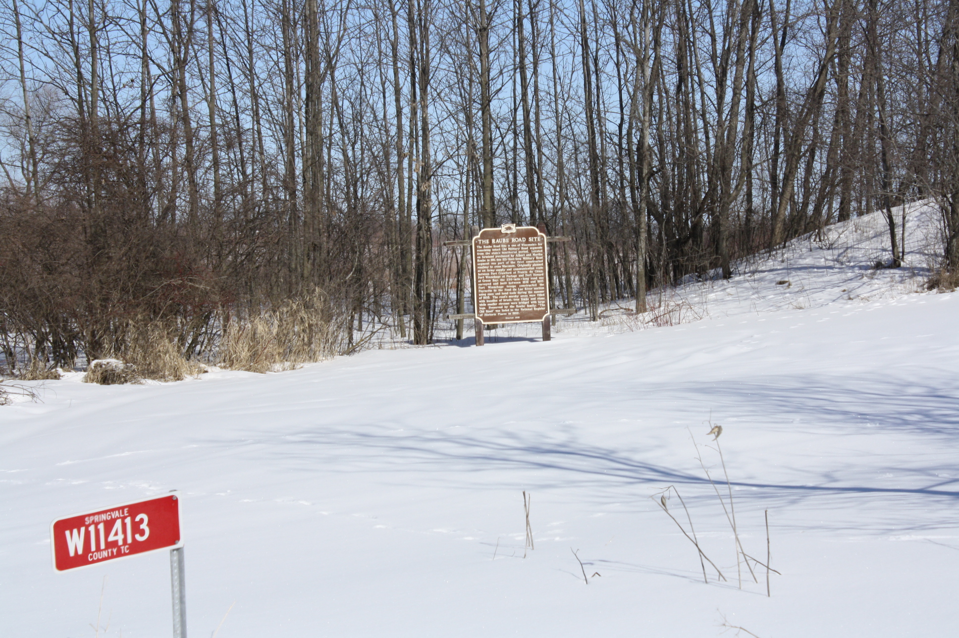
The marker for the w:Raube Road Site in rural Wisconsin. It is one of the last remaining intact segments of the original colonial Military Road between Fort Howard in Green Bay and Portage.
|
||
| Date | |||
| Source | Own work | ||
| Author | Royalbroil | ||
| Other versions |
File:Military Road now Raube Road rural Fond du Lac County Wisconsin.jpg  |
| Object location | | View this and other nearby images on: OpenStreetMap |
|---|
Licensing[edit]
- You are free:
- to share – to copy, distribute and transmit the work
- to remix – to adapt the work
- Under the following conditions:
- attribution – You must give appropriate credit, provide a link to the license, and indicate if changes were made. You may do so in any reasonable manner, but not in any way that suggests the licensor endorses you or your use.
- share alike – If you remix, transform, or build upon the material, you must distribute your contributions under the same or compatible license as the original.
File history
Click on a date/time to view the file as it appeared at that time.
| Date/Time | Thumbnail | Dimensions | User | Comment | |
|---|---|---|---|---|---|
| current | 05:47, 7 March 2013 | | 1,936 × 1,288 (1.48 MB) | Royalbroil (talk | contribs) | {{Information |Description=The marker for the w:Raube Road Site in rural Wisconsin. It is one of the last remaining intact segments of the original colonial Military Road between Fort Howard in Green Bay and Portage. |Source={{own}} |Date=2013-... |
You cannot overwrite this file.
File usage on Commons
The following page uses this file:
Metadata
- National Register of Historic Places in Fond du Lac County, Wisconsin
- Roads in Wisconsin
- Wisconsin State Historical Marker Program
- 1832 in Wisconsin
- 1837 in Wisconsin
- 1911 in Wisconsin
- Plaques referencing 1832 in the United States
- Plaques referencing 1837 in the United States
- Plaques referencing 1911 in the United States