File:Political map of the world, January 2015. LOC 2015588702.tif
Jump to navigation
Jump to search

Size of this JPG preview of this TIF file: 800 × 450 pixels. Other resolutions: 320 × 180 pixels | 640 × 360 pixels | 1,024 × 577 pixels | 1,280 × 721 pixels | 2,560 × 1,442 pixels | 11,534 × 6,495 pixels.
Original file (11,534 × 6,495 pixels, file size: 214.33 MB, MIME type: image/tiff)
Captions
Captions
Add a one-line explanation of what this file represents
Summary[edit]
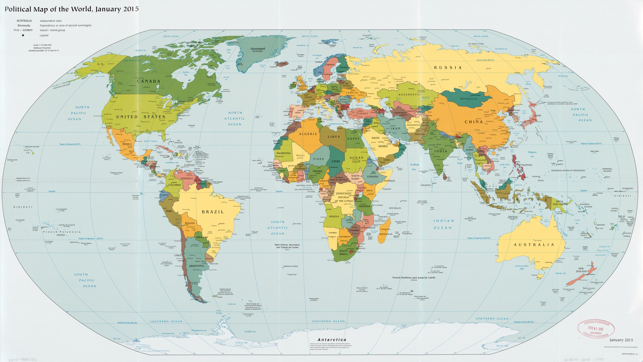
| Description |
English: "803744AI (G00010) 1-15." Includes notes. Available also through the Library of Congress Web site as a raster image. |
||
| Title | Political map of the world, January 2015. | ||
| Shelf ID | G3200 2015 .U45 | ||
| Date | |||
| Source | https://www.loc.gov/item/2015588702/ | ||
| Author | United States. Central Intelligence Agency | ||
| Permission (Reusing this file) |
|
||
| Other versions |
|
||
| Location | Earth | ||
| Part of | American Memory · General Maps · Catalog · Geography And Map Division | ||
| Subject | World Maps · Earth · World Politics |


Licensing[edit]
| This image is a work of a Central Intelligence Agency employee, taken or made as part of that person's official duties. As a Work of the United States Government, this image or media is in the public domain in the United States.
|

|
File history
Click on a date/time to view the file as it appeared at that time.
| Date/Time | Thumbnail | Dimensions | User | Comment | |
|---|---|---|---|---|---|
| current | 21:00, 24 May 2018 |  | 11,534 × 6,495 (214.33 MB) | Fæ (talk | contribs) | LOC Maps https://www.loc.gov/item/2015588702/ #456 |
You cannot overwrite this file.
File usage on Commons
The following page uses this file: