File:Pohjois-Pohjanmaa sijainti Suomi.svg
Jump to navigation
Jump to search

Size of this PNG preview of this SVG file: 355 × 598 pixels. Other resolutions: 142 × 240 pixels | 285 × 480 pixels | 455 × 768 pixels | 607 × 1,024 pixels | 1,215 × 2,048 pixels | 1,750 × 2,950 pixels.
Original file (SVG file, nominally 1,750 × 2,950 pixels, file size: 716 KB)
Captions
Captions
Add a one-line explanation of what this file represents
Summary[edit]
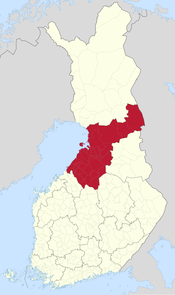
| Description | Location of North Ostrobothnia in Finland. |
| Source | Own work |
| Author | Fenn-O-maniC |
Licensing[edit]
This file is licensed under the Creative Commons Attribution-Share Alike 3.0 Unported license.
- You are free:
- to share – to copy, distribute and transmit the work
- to remix – to adapt the work
- Under the following conditions:
- attribution – You must give appropriate credit, provide a link to the license, and indicate if changes were made. You may do so in any reasonable manner, but not in any way that suggests the licensor endorses you or your use.
- share alike – If you remix, transform, or build upon the material, you must distribute your contributions under the same or compatible license as the original.
File history
Click on a date/time to view the file as it appeared at that time.
| Date/Time | Thumbnail | Dimensions | User | Comment | |
|---|---|---|---|---|---|
| current | 16:51, 21 September 2022 | | 1,750 × 2,950 (716 KB) | VulpesVulpes42 (talk | contribs) | Updated the file with the latest version of Fenn-O-maniC's base map; optimized. |
| 06:01, 26 December 2020 |  | 1,750 × 2,950 (923 KB) | Fenn-O-maniC (talk | contribs) | VicuñaUploader 1.23 |
You cannot overwrite this file.
File usage on Commons
The following 10 pages use this file:
- Category:Births in Northern Ostrobothnia
- Category:Churches in Northern Ostrobothnia
- Category:Deaths in Northern Ostrobothnia
- Category:Lakes of Northern Ostrobothnia
- Category:Maps of Northern Ostrobothnia
- Category:Northern Ostrobothnia
- Category:People of Northern Ostrobothnia
- Category:Train stations in Northern Ostrobothnia
- Category:Transport in Northern Ostrobothnia
- Category:Villages in Northern Ostrobothnia
File usage on other wikis
The following other wikis use this file:
- Usage on ar.wikipedia.org
- Usage on ast.wikipedia.org
- Usage on ce.wikipedia.org
- Usage on cs.wikipedia.org
- Usage on de.wikipedia.org
- Usage on el.wikipedia.org
- Usage on en.wikipedia.org
- Usage on en.wiktionary.org
- Usage on eo.wikipedia.org
- Usage on es.wikipedia.org
- Usage on eu.wikipedia.org
- Usage on fi.wikipedia.org
- Usage on ga.wikipedia.org
- Usage on gl.wikipedia.org
- Usage on is.wikipedia.org
- Usage on koi.wikipedia.org
- Usage on lmo.wikipedia.org
- Usage on lv.wikipedia.org
- Usage on os.wikipedia.org
- Usage on pl.wikipedia.org
- Usage on ru.wikipedia.org
- Usage on smn.wikipedia.org
- Usage on sr.wikipedia.org
- Usage on sv.wikipedia.org
- Norra Österbotten
- Alakylä, Uleåborg
- Sievi stationsby
- Alavieska kyrkoby
- Brahestads centraltätort
- Huttukylä
- Haikaperä
- Ijo hamn
- Vattukylä
- Ojakylä, Ijo
- Häkinkorva
- Isokoski
- Jyrinki
- Överkiminge kyrkoby
- Haapajoki-Arkkukari
- Piehinki
- Asemakylä, Kuivaniemi
- Lampinsaari
- Olkijoki
- Vihanti kyrkoby
- Alpua
- Kähtävä
- Taluskylä
- Pattijoki kyrkby
- Saloinens kyrkby
- Lapaluoto
- Haapajärvi centraltätort
View more global usage of this file.