File:Oconaluftee Terminus area (8adb7b2ef6c9408e93500c8d5e877ff8).tif
Jump to navigation
Jump to search

Size of this JPG preview of this TIF file: 800 × 498 pixels. Other resolutions: 320 × 199 pixels | 640 × 399 pixels | 1,024 × 638 pixels | 1,280 × 797 pixels | 2,414 × 1,504 pixels.
Original file (2,414 × 1,504 pixels, file size: 10.39 MB, MIME type: image/tiff)
Captions
Captions
Add a one-line explanation of what this file represents

|
The categories of this image need checking. You can do so here.
|
Summary[edit]
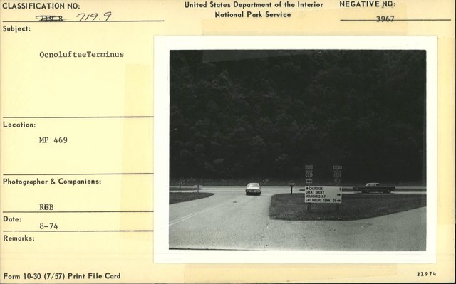
| English: Oconaluftee Terminus area | ||||
|---|---|---|---|---|
| Photographer |
English: R. G. Bruce |
|||
| Title |
English: Oconaluftee Terminus area |
|||
| Publisher |
English: U.S. National Park Service |
|||
| Description |
English: Oconaluftee Terminus area Milepost 469
|
|||
| Depicted place |
English: Milepost 469, Blue Ridge Parkway; Blue Ridge Parkway; Latitude: 36.4365005493164, Longitude: -81.070556640625 |
|||
| Date | Taken on 1 August 1974 | |||
| Accession number | ||||
| Source |
English: NPGallery |
|||
| Permission (Reusing this file) |
|
|||
| Other versions | ||||
| Contacts | English: Organization: US National Park Service Role: Museum Curator Address: Blue Ridge Parkway Headquarters Email: blri_info@nps.gov |
|||
| NPS Unit Code | BLRI | |||

File history
Click on a date/time to view the file as it appeared at that time.
| Date/Time | Thumbnail | Dimensions | User | Comment | |
|---|---|---|---|---|---|
| current | 11:14, 7 June 2022 |  | 2,414 × 1,504 (10.39 MB) | BMacZeroBot (talk | contribs) | Batch upload (Commons:Batch uploading/NPGallery) |
You cannot overwrite this file.
File usage on Commons
The following 2 pages use this file: