File:National Weather Service Tampa, Florida county warning area.svg
Jump to navigation
Jump to search

Size of this PNG preview of this SVG file: 601 × 599 pixels. Other resolutions: 241 × 240 pixels | 481 × 480 pixels | 770 × 768 pixels | 1,027 × 1,024 pixels | 2,054 × 2,048 pixels | 7,342 × 7,321 pixels.
Original file (SVG file, nominally 7,342 × 7,321 pixels, file size: 331 KB)
Captions
Captions
Add a one-line explanation of what this file represents
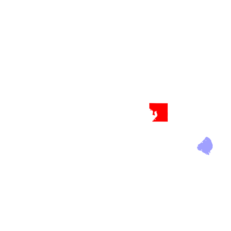
| Description | Map showing the National Weather Service Tampa, Florida county warning area. |
| Date | (UTC) |
| Source | |
| Author |
|
I, the copyright holder of this work, hereby publish it under the following license:
| I, the copyright holder of this work, release this work into the public domain. This applies worldwide. In some countries this may not be legally possible; if so: I grant anyone the right to use this work for any purpose, without any conditions, unless such conditions are required by law. |
Original upload log[edit]
This image is a derivative work of the following images:
- File:Map_of_Florida_highlighting_Hillsborough_County.svg licensed with PD-self
- 2006-02-14T05:36:37Z David Benbennick 7342x7321 (317320 Bytes) New version with Lake Okeechobee
- 2006-02-12T10:41:51Z David Benbennick 7342x7321 (314362 Bytes) {{subst:User:Dbenbenn/clm|county=Hillsborough County|state=Florida}}
Uploaded with derivativeFX
File history
Click on a date/time to view the file as it appeared at that time.
| Date/Time | Thumbnail | Dimensions | User | Comment | |
|---|---|---|---|---|---|
| current | 00:22, 22 November 2010 | | 7,342 × 7,321 (331 KB) | Ks0stm (talk | contribs) | {{Information |Description=Map showing the National Weather Service Tampa, Florida county warning area. |Source=*File:Map_of_Florida_highlighting_Hillsborough_County.svg |Date=2010-11-22 00:17 (UTC) |Aut |
You cannot overwrite this file.
File usage on Commons
There are no pages that use this file.
File usage on other wikis
The following other wikis use this file:
- Usage on en.wikipedia.org