File:Map of a portion of eastern Virginia. LOC 2007627335.tif
Jump to navigation
Jump to search

Size of this JPG preview of this TIF file: 466 × 599 pixels. Other resolutions: 187 × 240 pixels | 373 × 480 pixels | 598 × 768 pixels | 797 × 1,024 pixels | 1,594 × 2,048 pixels | 7,879 × 10,125 pixels.
Original file (7,879 × 10,125 pixels, file size: 228.24 MB, MIME type: image/tiff)
Captions
Captions
Add a one-line explanation of what this file represents
Summary[edit]
| Warning | The original file is very high-resolution. It might not load properly or could cause your browser to freeze when opened at full size. |
|---|
| Description |
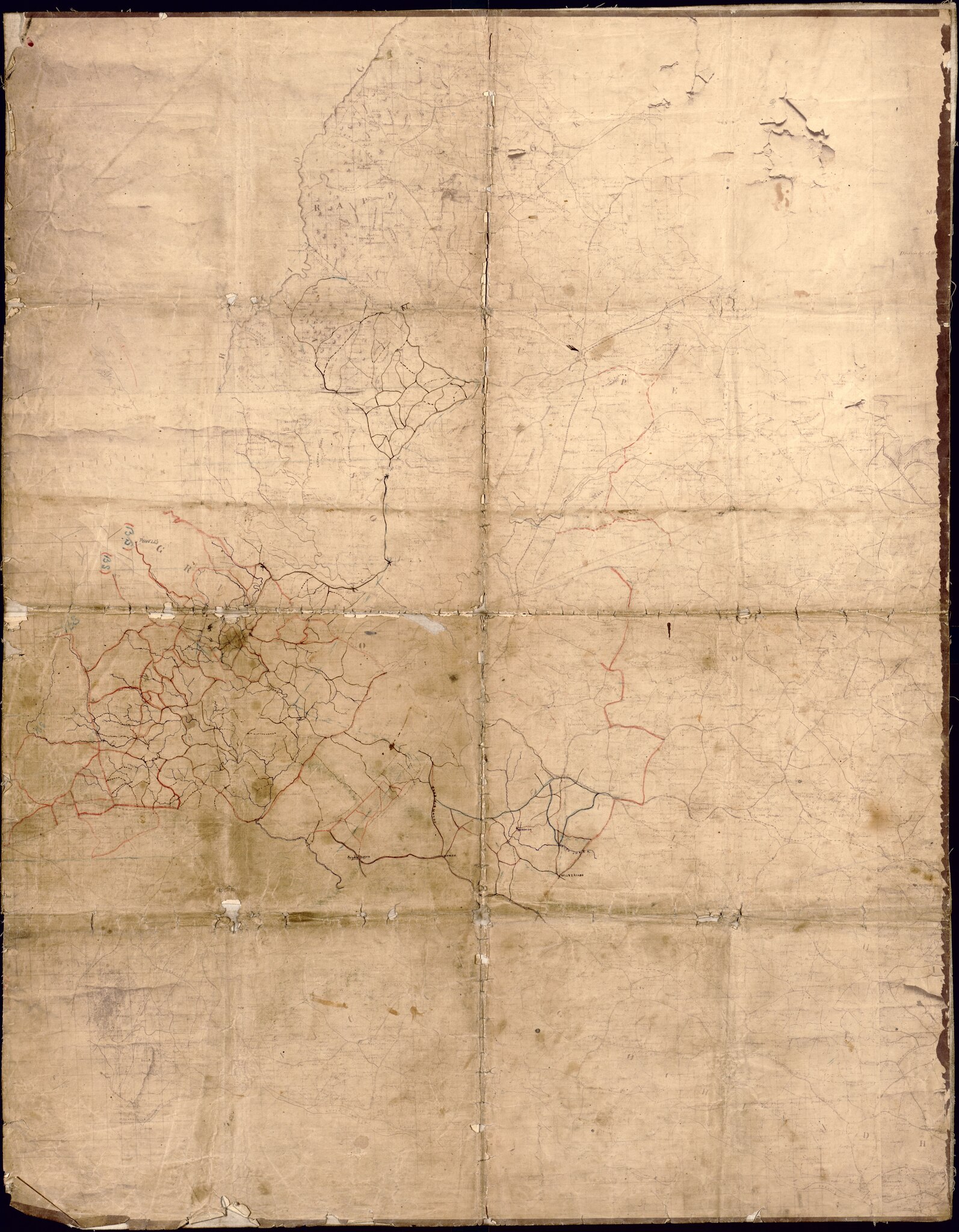
English: Shows parts of eastern Virginia from Rappannock to Goochland, including names of some residents. Relief shown by hachures. Sun print with pen-and-ink, crayon, and pencil annotations. Title, date, and scale from Stephenson's Civil War maps, 1989. LC Civil War maps (2nd ed.), 486.3 Call no. cited in LC Civil War maps (2nd ed.): G3880 1864 .G4 Vault. LC copy annotated in pencil on verso: Loose, Loose, Loss. LC copy imperfect: Use-worn and wrinkled/missing small sections along fold-lines and edges, nearly illegible. Discoloration and liquid staining throughout. Available also through the Library of Congress Web site as a raster image. |
||
| Title | [Map of a portion of eastern Virginia]. | ||
| Shelf ID | G3880 1864 .C6 G3880 1864 .C6 | ||
| Date | |||
| Source | https://www.loc.gov/item/2007627335/ | ||
| Author | Confederate States Of America. Army. Department Of Northern Virginia. Chief Engineer'S Office | ||
| Permission (Reusing this file) |
|
||
| Other versions |
|
||
| Location | United States · Virginia | ||
| Part of | Military Battles And Campaigns · American Memory · Civil War Maps · Catalog · Geography And Map Division | ||
| Subject | United States · Maps · Virginia · Landowners |


Licensing[edit]
|
This is a faithful photographic reproduction of a two-dimensional, public domain work of art. The work of art itself is in the public domain for the following reason:
The official position taken by the Wikimedia Foundation is that "faithful reproductions of two-dimensional public domain works of art are public domain".
This photographic reproduction is therefore also considered to be in the public domain in the United States. In other jurisdictions, re-use of this content may be restricted; see Reuse of PD-Art photographs for details. | ||||
File history
Click on a date/time to view the file as it appeared at that time.
| Date/Time | Thumbnail | Dimensions | User | Comment | |
|---|---|---|---|---|---|
| current | 06:33, 1 August 2018 |  | 7,879 × 10,125 (228.24 MB) | Fæ (talk | contribs) | LOC Maps https://www.loc.gov/item/2007627335/ #18109 |
You cannot overwrite this file.
File usage on Commons
The following 3 pages use this file: