File:Map of Tectonic Summary Region (Mexico).pdf
Jump to navigation
Jump to search

Size of this JPG preview of this PDF file: 800 × 505 pixels. Other resolutions: 320 × 202 pixels | 640 × 404 pixels | 1,024 × 647 pixels | 1,280 × 808 pixels | 2,850 × 1,800 pixels.
Original file (2,850 × 1,800 pixels, file size: 16.23 MB, MIME type: application/pdf)
Captions
Captions
Add a one-line explanation of what this file represents
Summary[edit]
| Description |
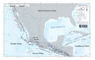
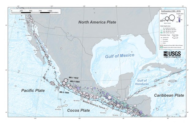
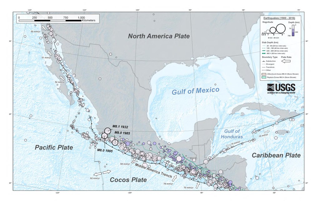
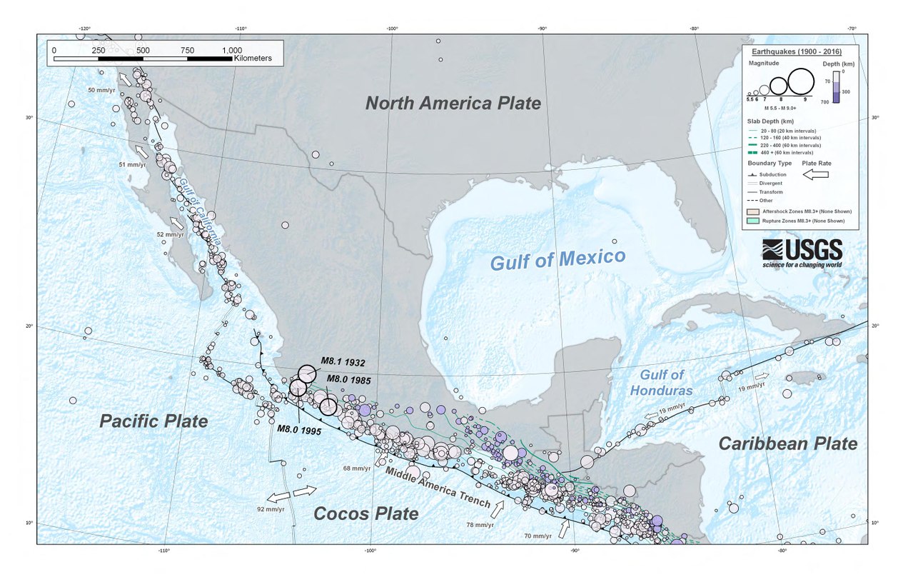
中文(中国大陆):美国地质调查局提供的墨西哥历史地震地图。 |
| Date | |
| Source | https://earthquake.usgs.gov/earthquakes/eventpage/us2000d3km#region-info |
| Author | 美国地质调查局 |
Licensing[edit]
This image is in the public domain in the United States because it only contains materials that originally came from the United States Geological Survey, an agency of the United States Department of the Interior. For more information, see the official USGS copyright policy.
|
File history
Click on a date/time to view the file as it appeared at that time.
| Date/Time | Thumbnail | Dimensions | User | Comment | |
|---|---|---|---|---|---|
| current | 05:04, 30 March 2018 |  | 2,850 × 1,800 (16.23 MB) | Patlabor Ingram (talk | contribs) | User created page with UploadWizard |
You cannot overwrite this file.
File usage on Commons
There are no pages that use this file.
File usage on other wikis
The following other wikis use this file:
- Usage on de.wikipedia.org
- Usage on en.wikipedia.org
- Usage on nl.wikipedia.org
- Usage on zh.wikipedia.org